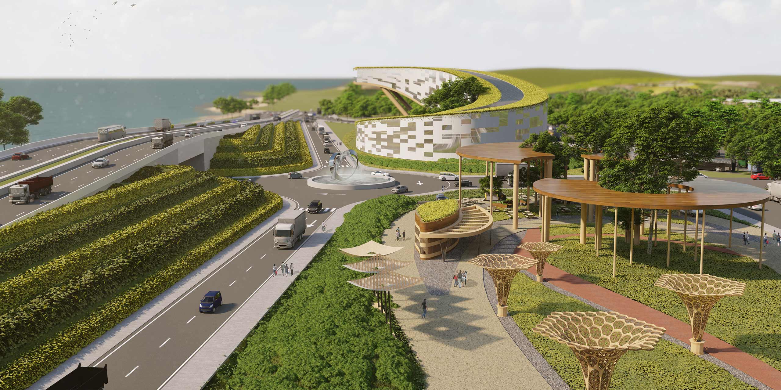
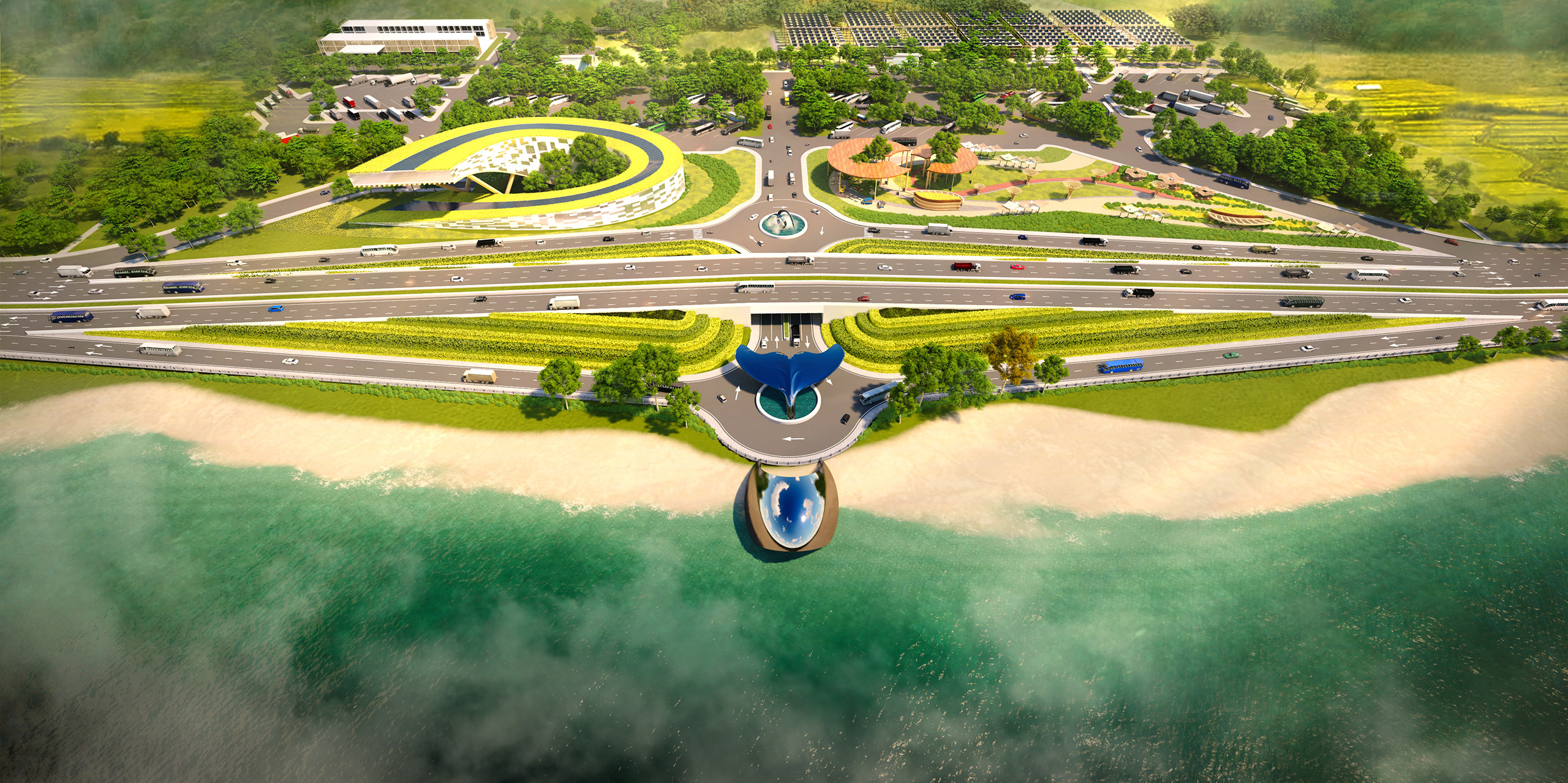
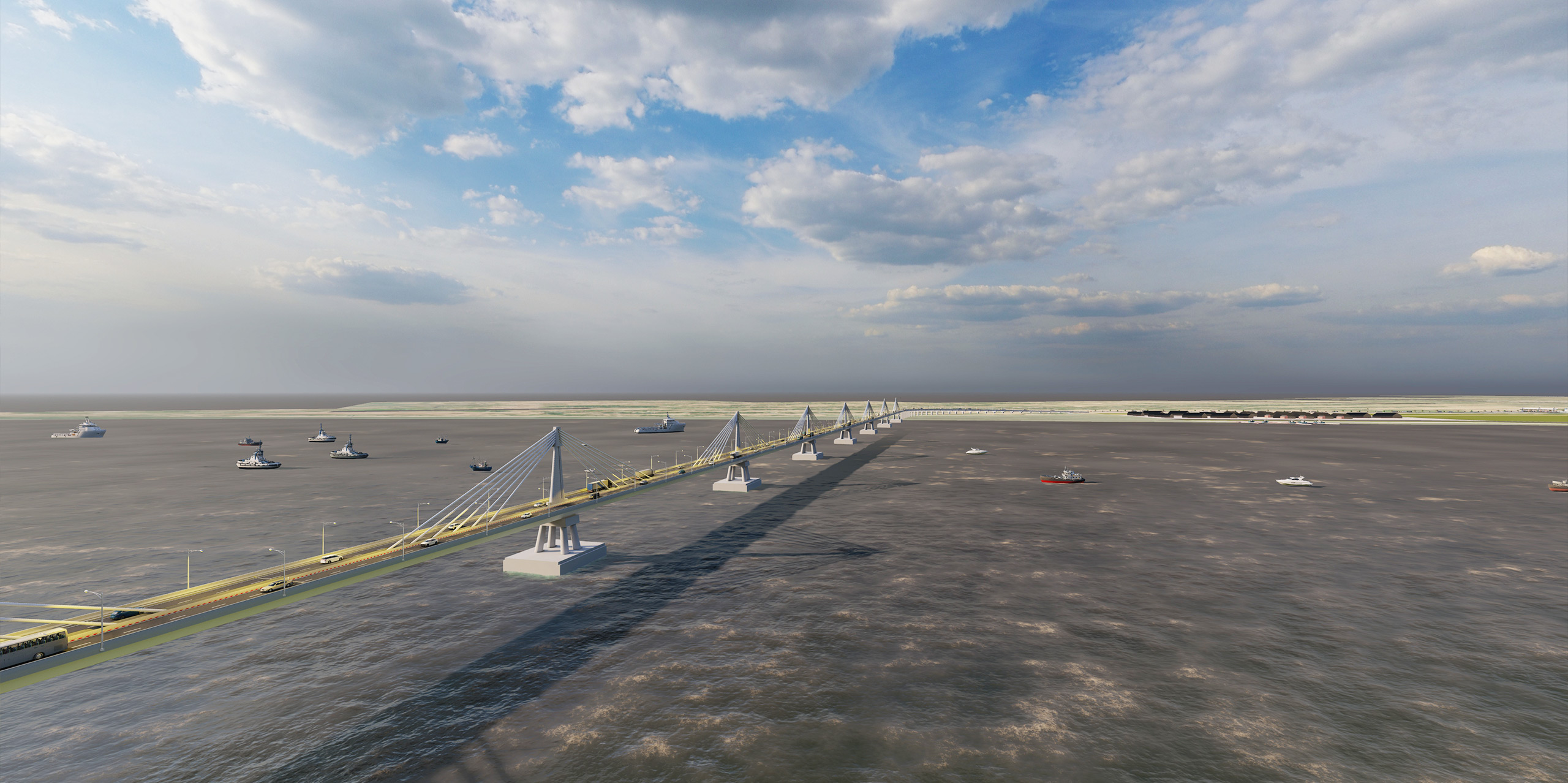
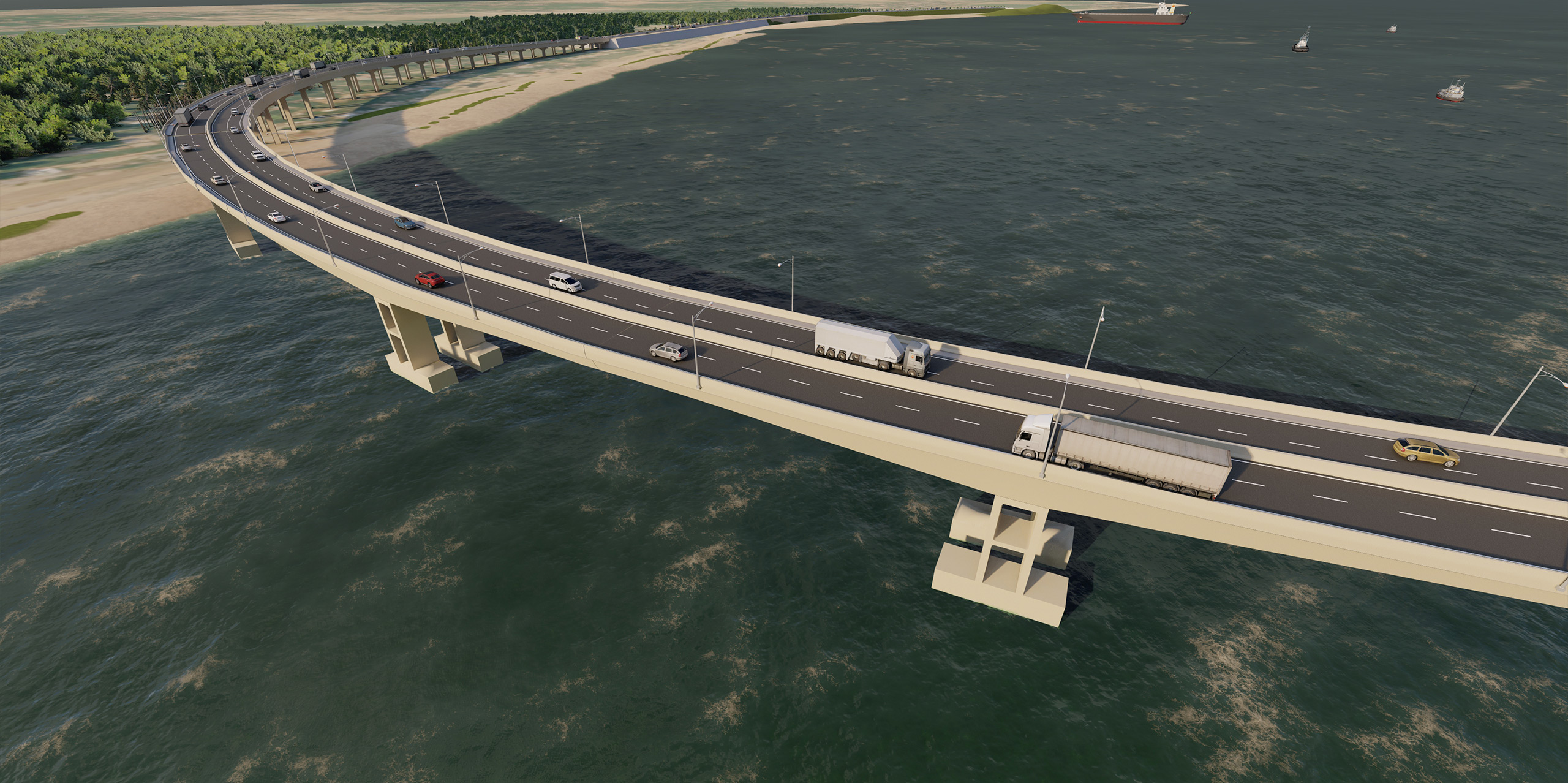
Marine Drive Expressway

From the early pioneers on the Snowy Mountains Hydroelectric Scheme, to our leaders and innovators of today, our people make us who we are.
Through our network of global specialists and by collaborating with local partners, we connect you with the best teams and capabilities to deliver highly innovative and sustainable solutions.
As an organisation we are continually evaluating ways we can better provide a safe, flexible, inclusive and respectful workplace for our people and clients.
People are at the heart of our organisation, we strive to create a flexible, diverse and inclusive environment that enables our people to thrive to their fullest potential.
Explore career opportunities
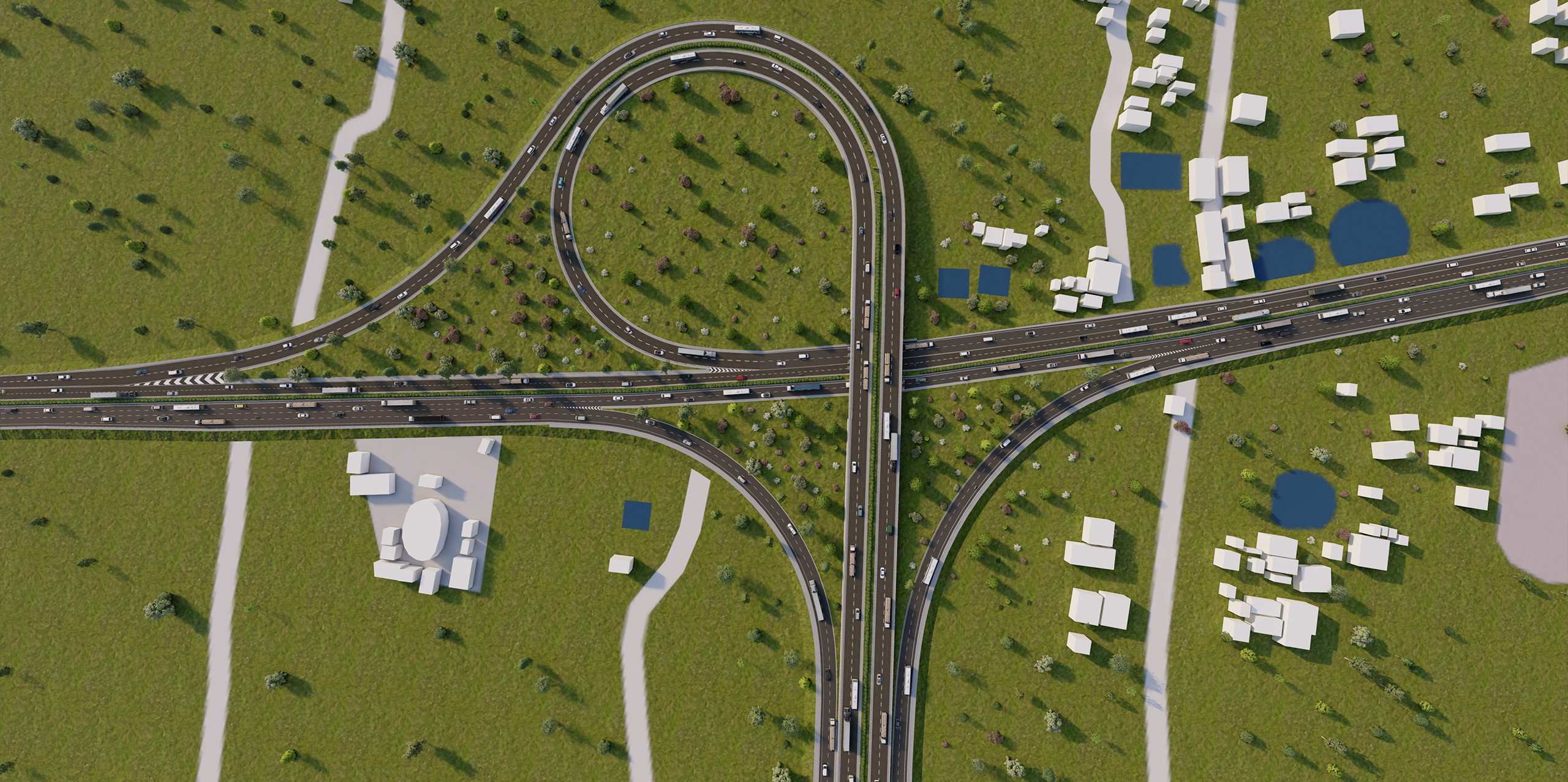
Set to become the longest coastal highway in the world, Marine Drive Expressway will improve the connectivity between two major cities (Chittagong and Cox’s Bazar) and enable sustained economic growth in one of Bangladesh’s most important development corridors. ‘Paving the way for THE future of Bangladesh’ the project team has proposed a modern design that matches international standards and global best practice. Key impacts include: