A globally connected workforce of specialists, operating out of more than 40 countries
From the early pioneers on the Snowy Mountains Hydroelectric Scheme, to our leaders and innovators of today, our people make us who we are.

- About
We align specialist expertise to deliver effective, practical and sustainable outcomes
Through our network of global specialists and by collaborating with local partners, we connect you with the best teams and capabilities to deliver highly innovative and sustainable solutions.

- Expertise
- Overview
- Air Quality
- Asset Management
- Business & Investor Advisory
- Building Services Engineering
- Civil & Structural Engineering
- Communication & Stakeholder Engagement
- Construction Phase Services
- Development Management
- Digital
- Energy Efficiency
- Environment and Social Impact Assessment
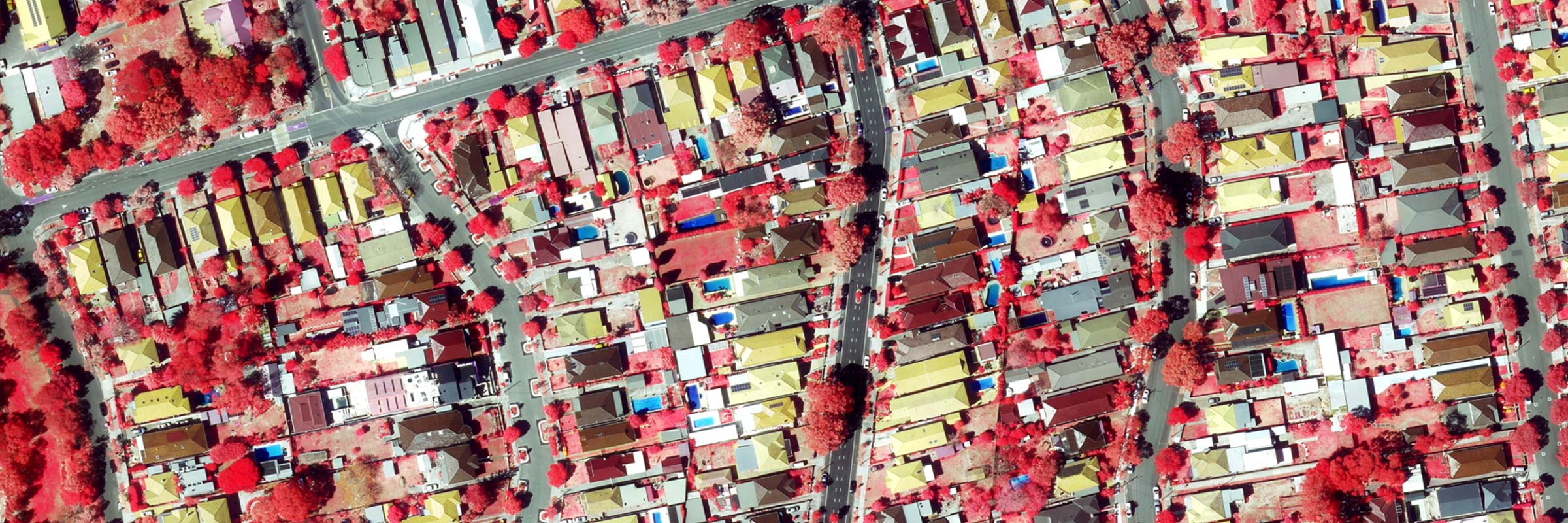
- Geospatial Services
- Geotechnical Investigations
- Geotechnics
- Independent Verification
- Landscape Architecture
- Master Planning
- Operational Readiness
- Operations & Maintenance
- Pedestrian Modelling
- Planning
- Project Management
- Rail systems
- Survey
- Sustainability
- Tunnels
- Training & Capacity Building
- Urban Design
- Water Sensitive Urban Design
- Water Services Coordination
We're committed to positively impact the individuals and communities we work with
As an organisation we are continually evaluating ways we can better provide a safe, flexible, inclusive and respectful workplace for our people and clients.

- Responsibility
Join an inclusive workplace rich in diverse thinking
People are at the heart of our organisation, we strive to create a flexible, diverse and inclusive environment that enables our people to thrive to their fullest potential.
Explore career opportunities
- Careers
Geospatial
Services
Ready
to
connect?
Talk to one of our global specialists about our Geospatial services solutions.