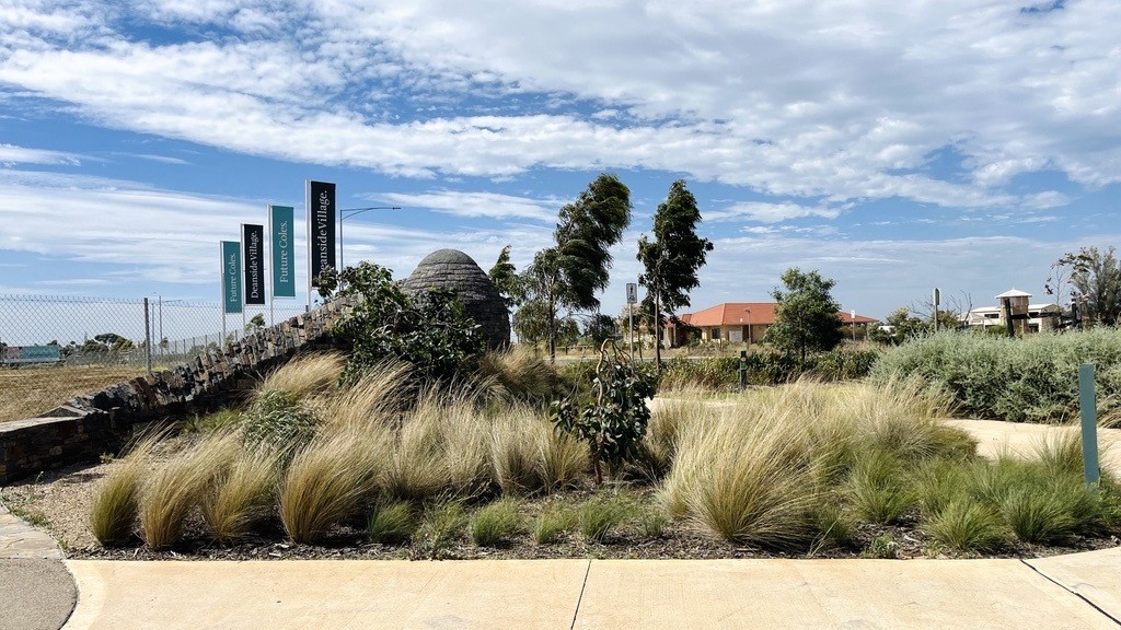
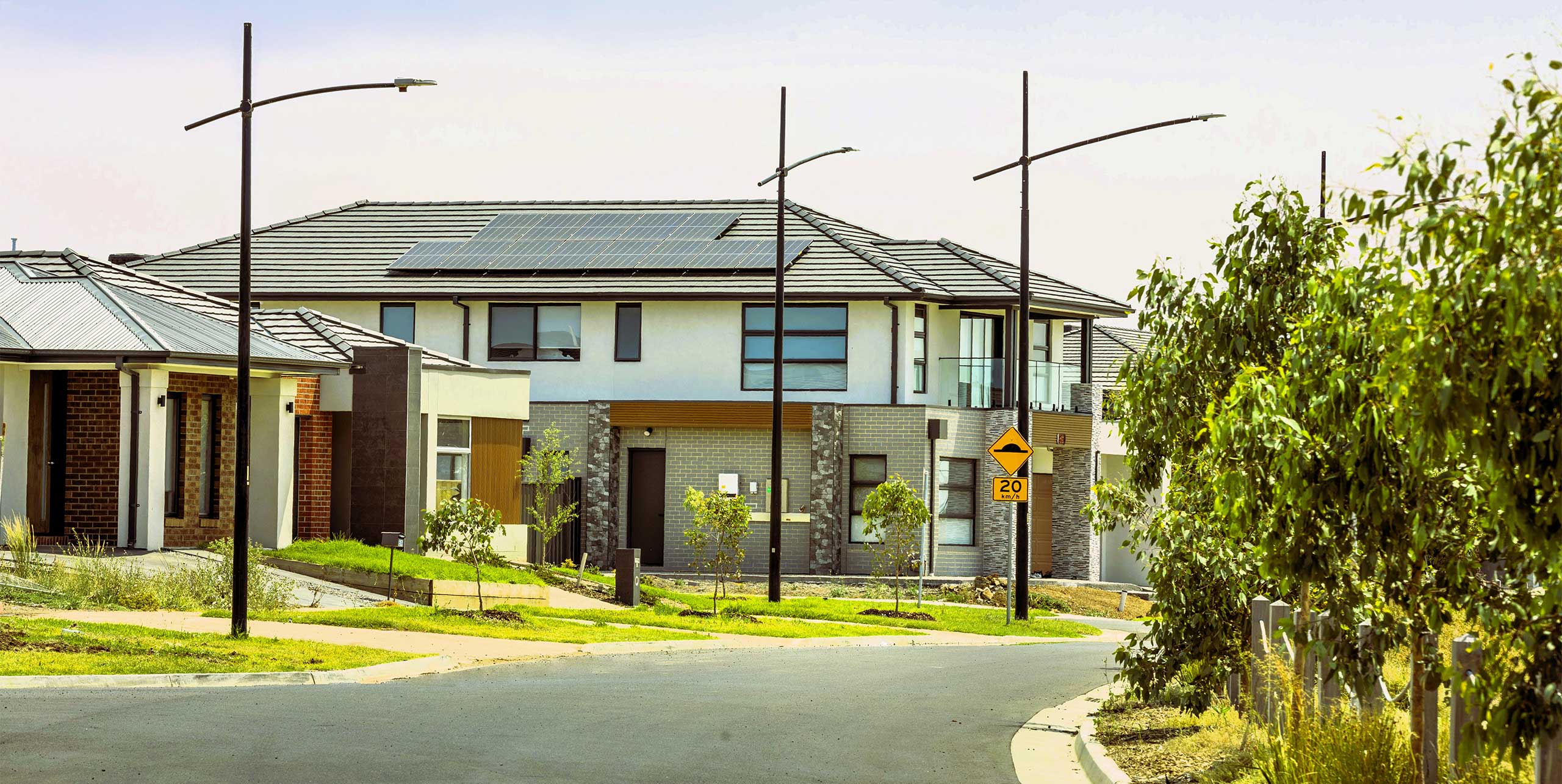
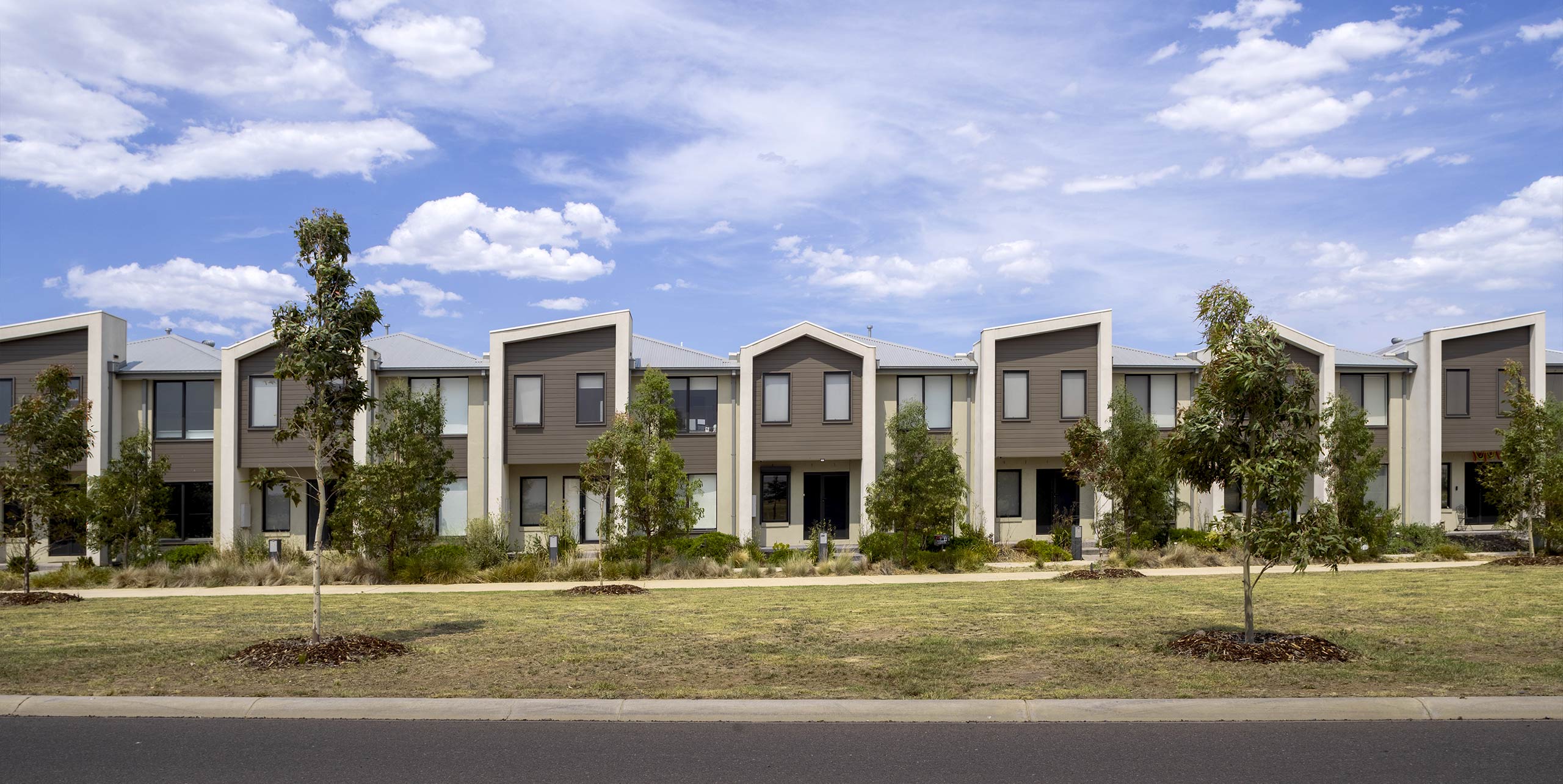
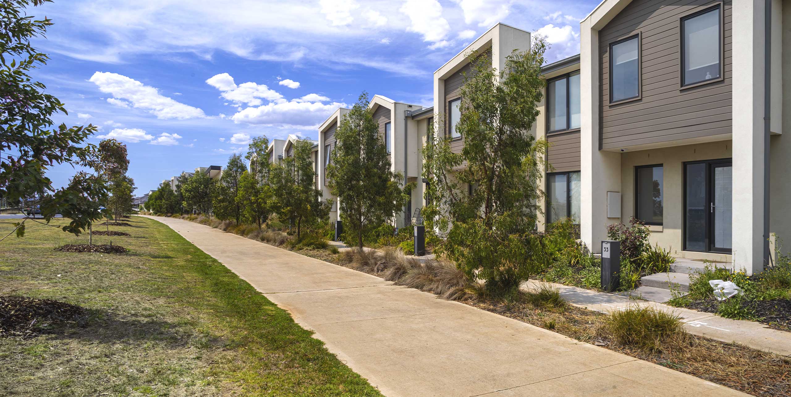
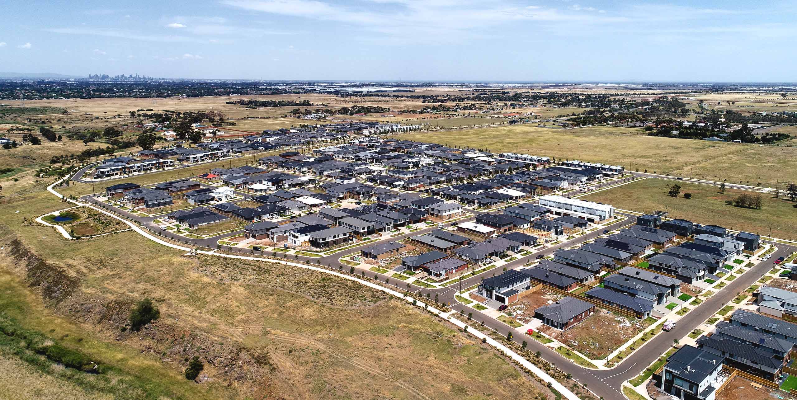
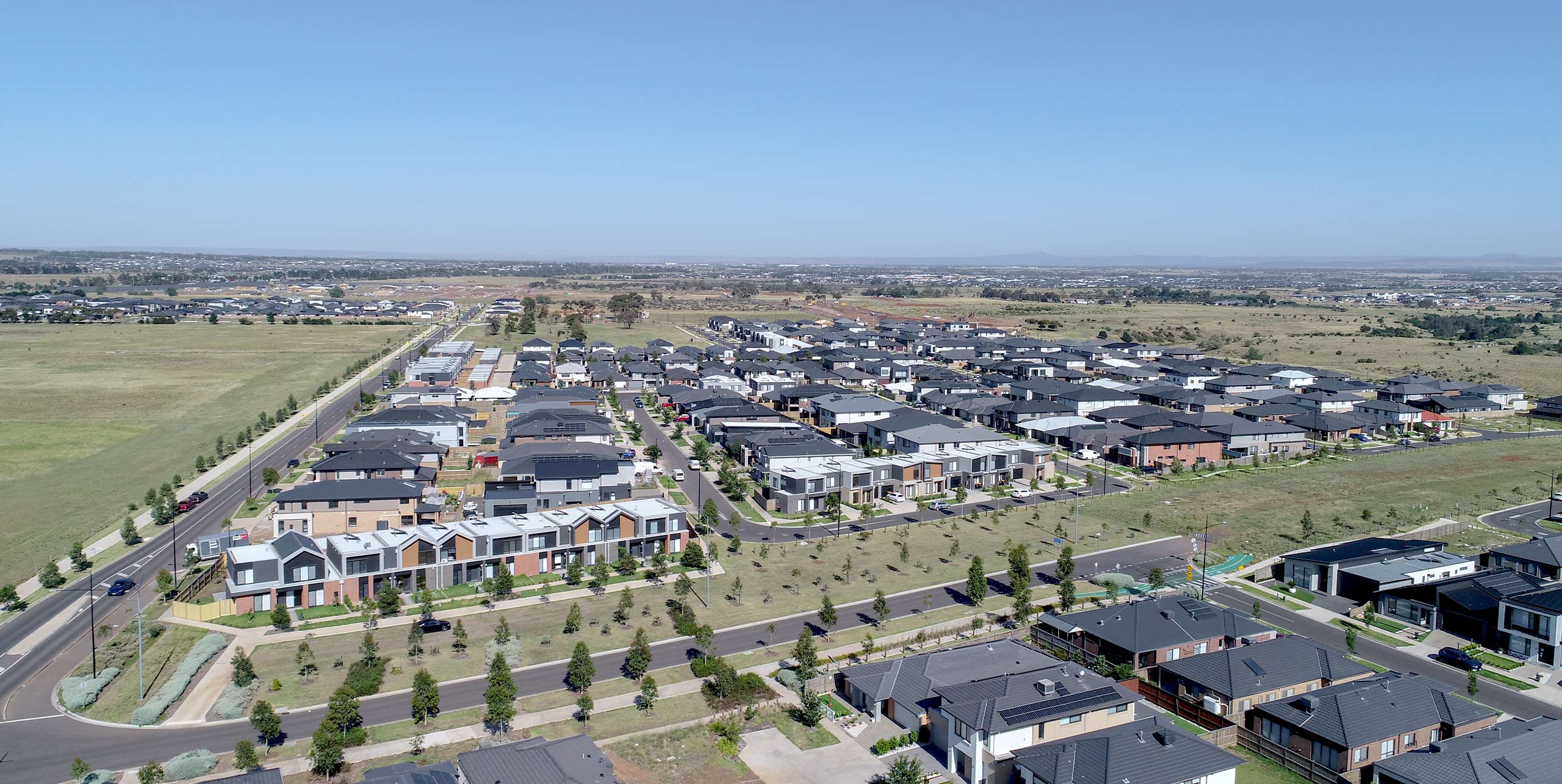
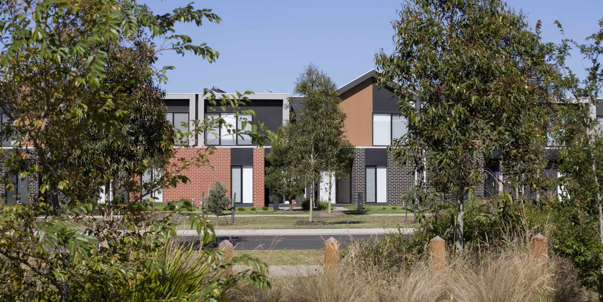
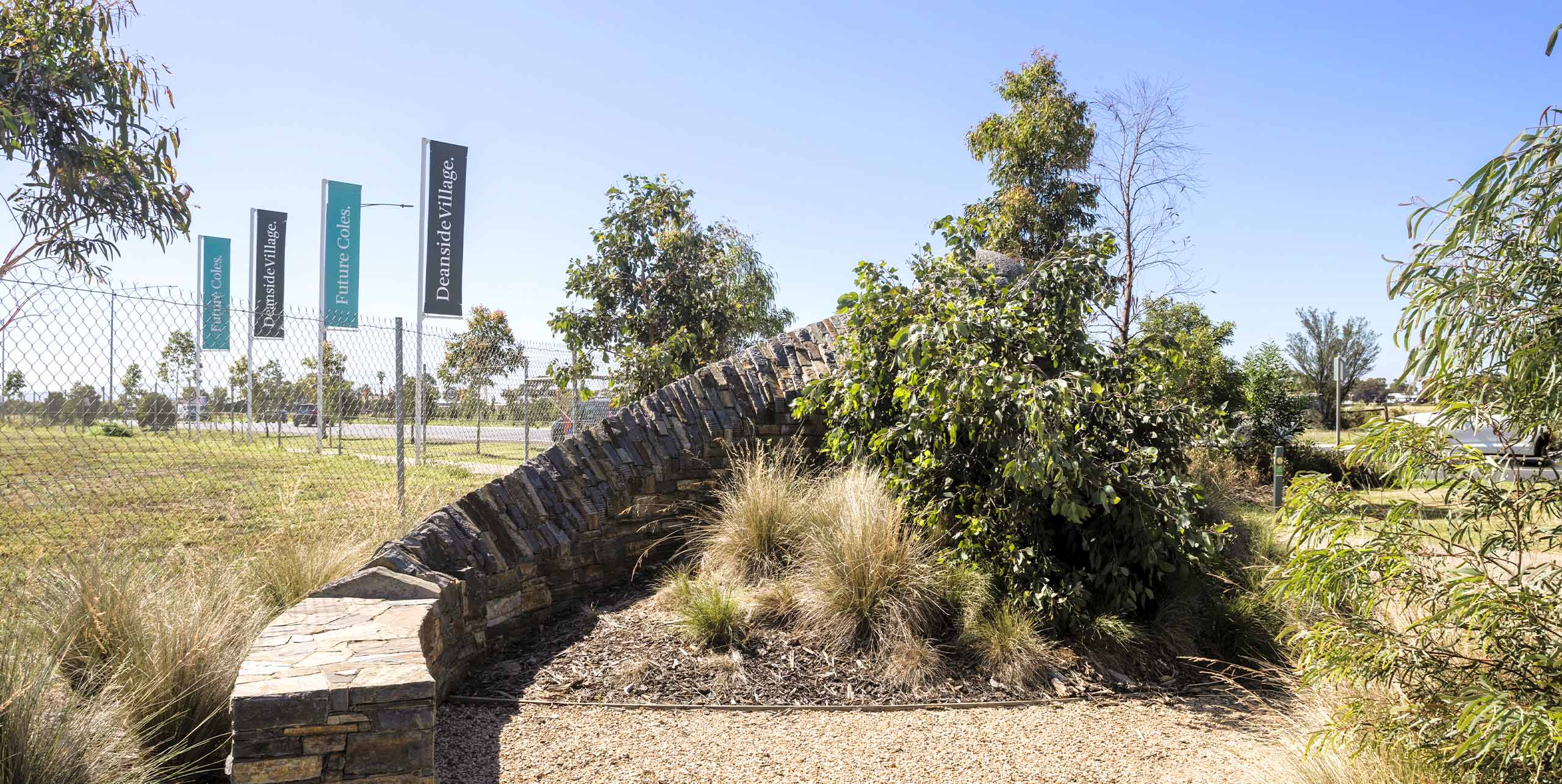
Deanside Village

From the early pioneers on the Snowy Mountains Hydroelectric Scheme, to our leaders and innovators of today, our people make us who we are.
Through our network of global specialists and by collaborating with local partners, we connect you with the best teams and capabilities to deliver highly innovative and sustainable solutions.
As an organisation we are continually evaluating ways we can better provide a safe, flexible, inclusive and respectful workplace for our people and clients.
People are at the heart of our organisation, we strive to create a flexible, diverse and inclusive environment that enables our people to thrive to their fullest potential.
Explore career opportunities
SMEC managed reimbursements for public authority assets including main drains, arterial roads and wetlands. Detailed cost and quantity models audited volumes and assessed eligibility. As designs and prices evolved, forecasts remained current and transparent, giving the client visibility over timing, cost and risk. Key assets included:
To manage program risk, SMEC refined lot layouts, earthworks and road grades to contain flows on site and enable approvals to proceed. Where titles depended on drainage not yet in place, temporary stormwater measures were implemented, and reimbursable assets were sequenced to protect cash flow.
In cases where overland flows would have required neighbouring consent, alignments were adjusted to remove that dependency and direct flows to other parts of the site. In parallel, land access was secured for Melbourne Water scheme drains across Crown land. Within precinct 2, a sewer lift station addressed level constraints and maintained gravity discharge to the downstream sewer system.
SMEC conducted detailed terrain modelling and stage-by-stage mass-haul planning to balance cut and fill across the estate and keep material on site. Multiple construction sequences and haul paths were tested, temporary stockpiles mapped, and movements aligned with civil and services packages. This reduced double handling, shortened haul distances and protected the program while approvals progressed.
The earthworks plan supported staging logic by synchronising soil movements with drainage, roads, utilities and open space delivery. Geotechnical investigations informed practical design rules and construction guidance.
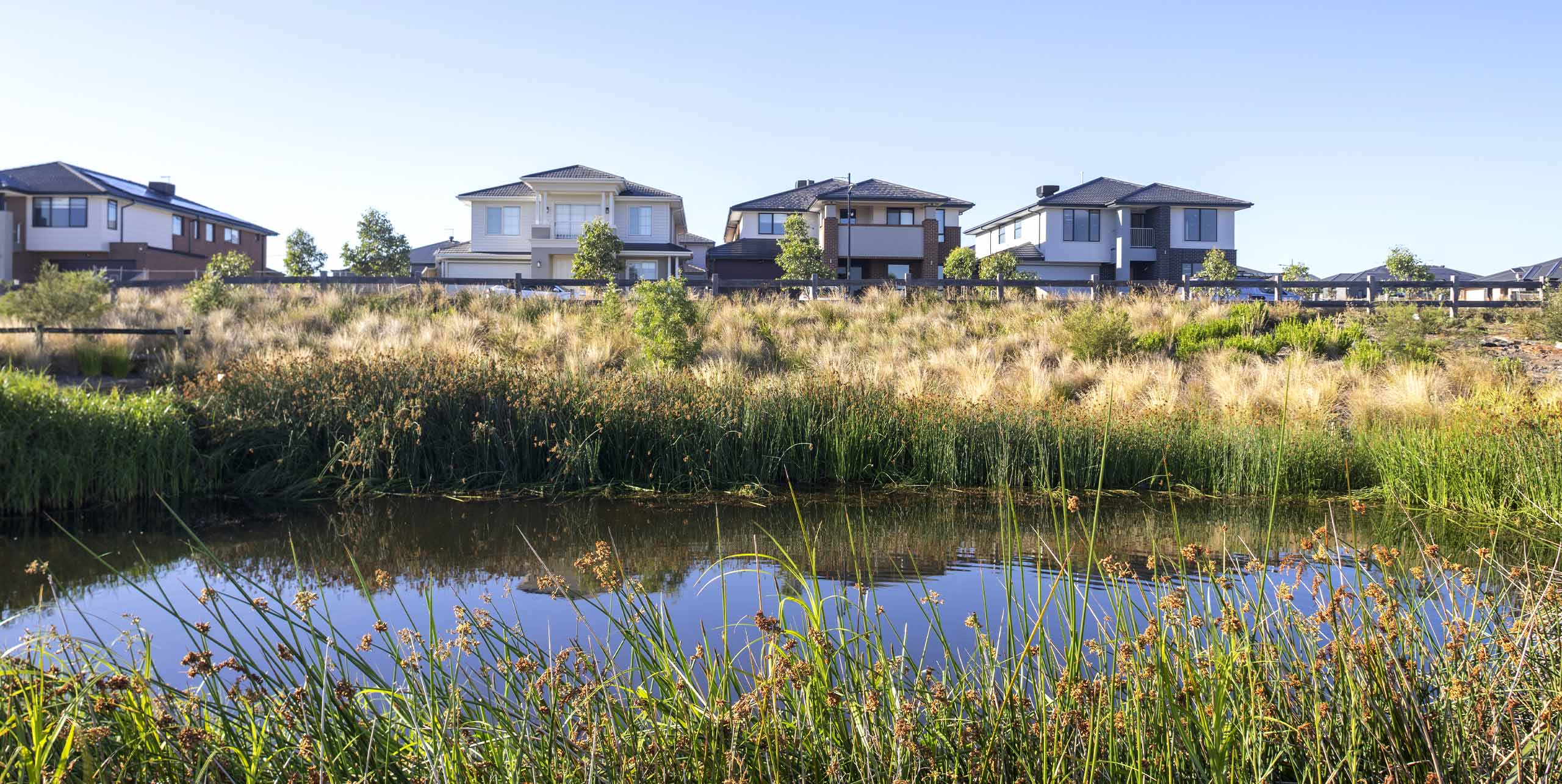
The site was split into multiple drainage catchments. Most areas drain directly to Kororoit Creek via scheme drains that connect to bioretention basins and wetlands which provide treatment and enhance ecology prior to discharging to the creek.
Stormwater and water quality infrastructure were core enabling works. An Integrated Water Management Plan set a scalable water baseline for the estate, translating the Kororoit PSP requirements into a council endorsed strategy. MUSIC modelling confirmed pollutant reductions that met or exceeded best practice. The eastern bioretention basin demonstrated strong treatment performance within a compact footprint and provided a safe public edge along the shared path with maintenance access for long term operations.
The IWMP defined a chain of sediment ponds, bioretention basins, a retarding basin and a wetland, protecting Kororoit Creek and Growling Grass Frog habitat while meeting stormwater objectives. Rainwater tanks were encouraged and mandated for larger lots. Passive irrigation was adopted for street trees.
Greater Western Water provided the backbone for the estate. In precinct 1 planned trunk assets included a 300mm sewer along the northern boundary tying into a pump station that feeds into a 3.6km pressure sewer to connect to the Caroline Springs system via Neale Road.
Within precinct 2, a dedicated sewer lift-station services the local network and connects to the branch sewer system. Its footprint and interfaces were set out in the masterplan so access, safety and staging could be managed alongside wetlands, main drains and road works.
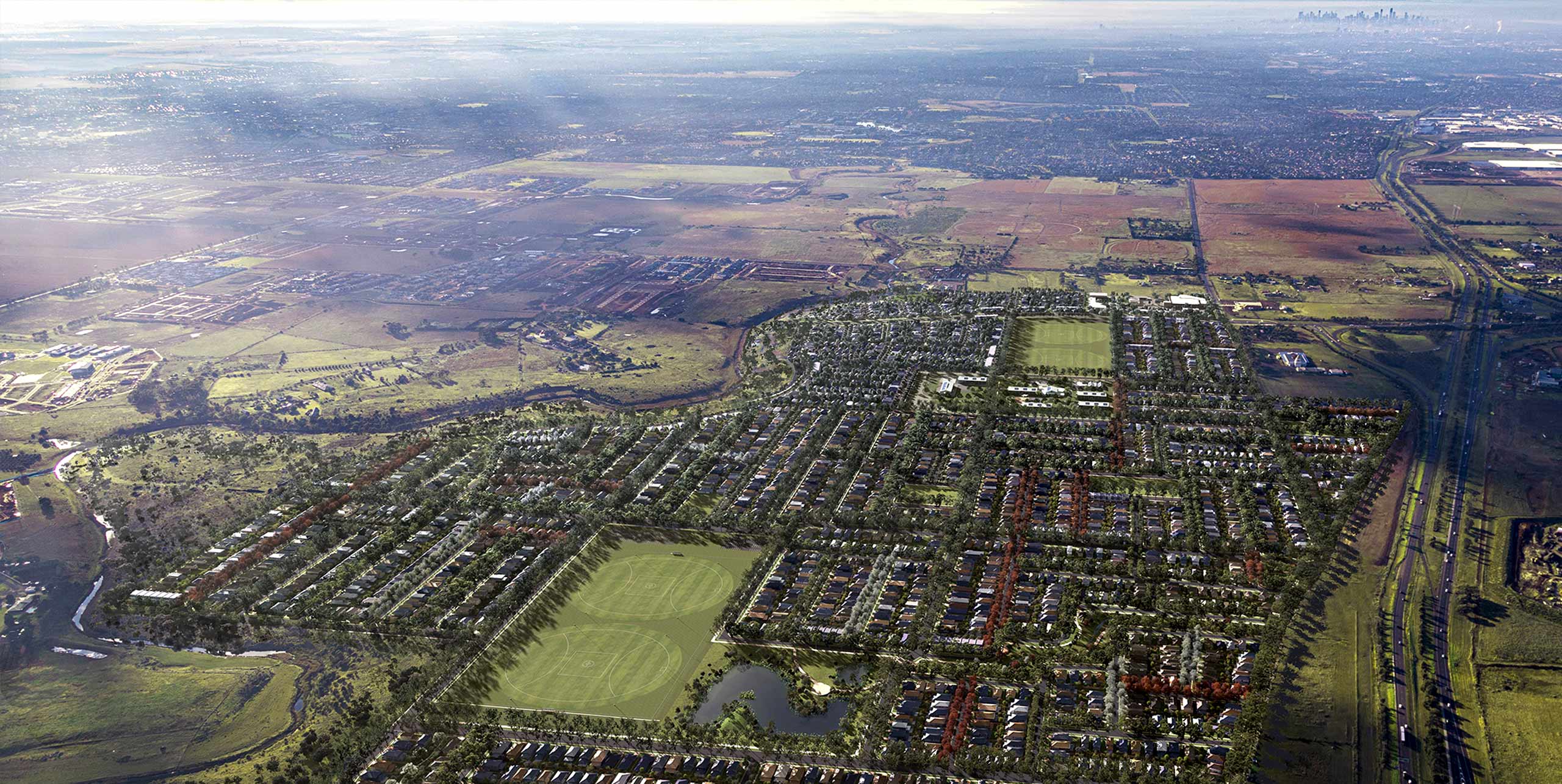
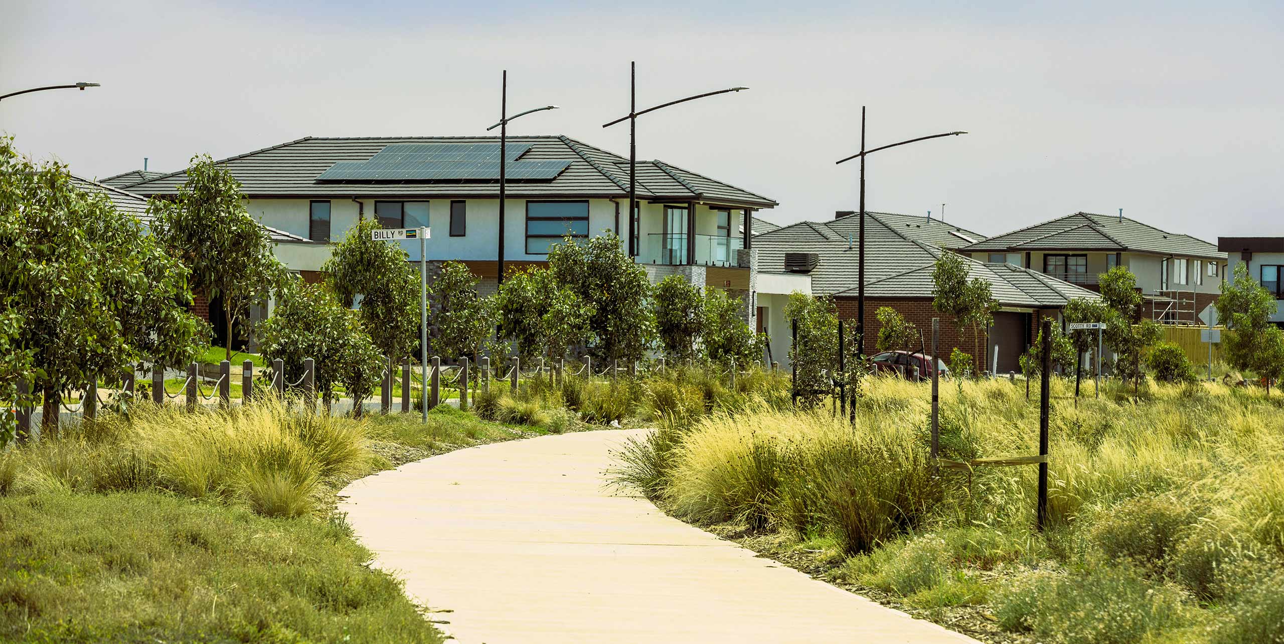
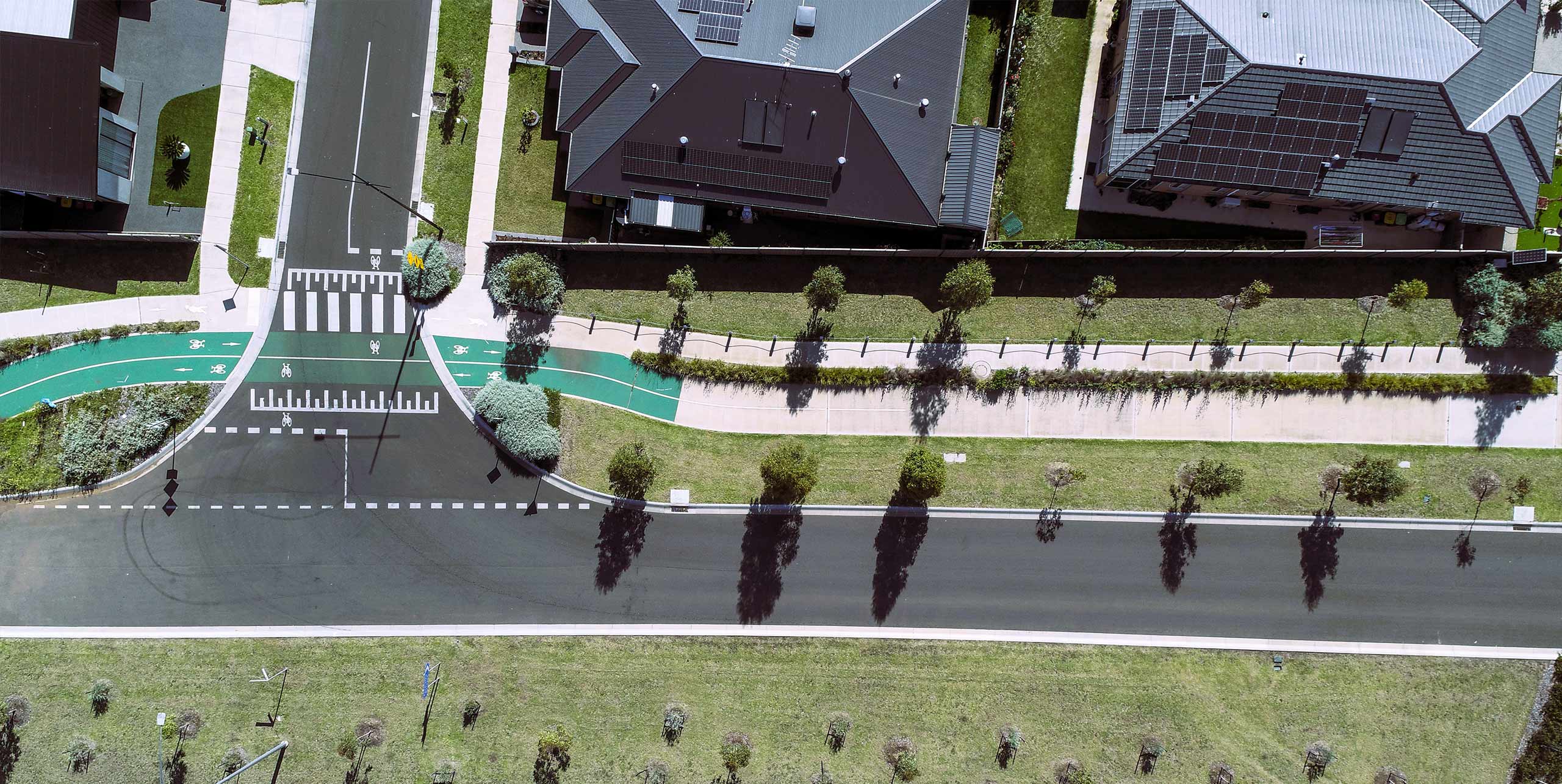
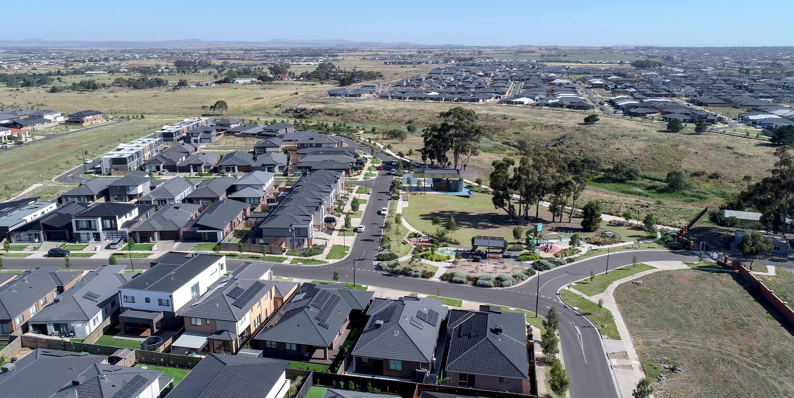
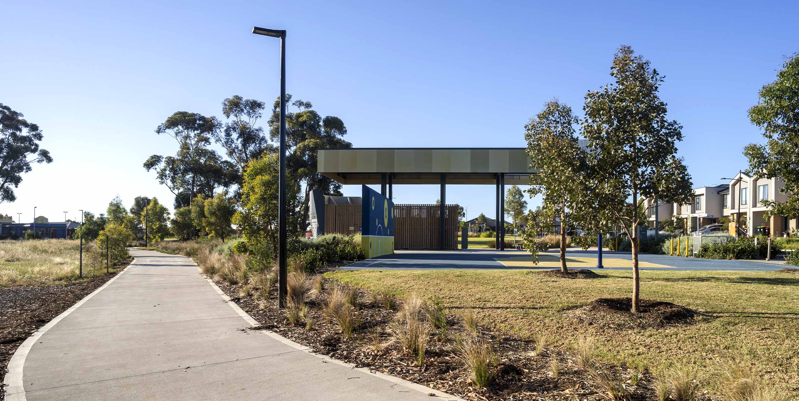
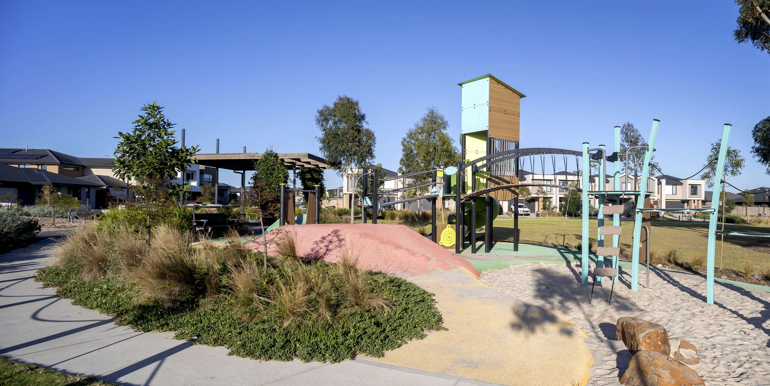
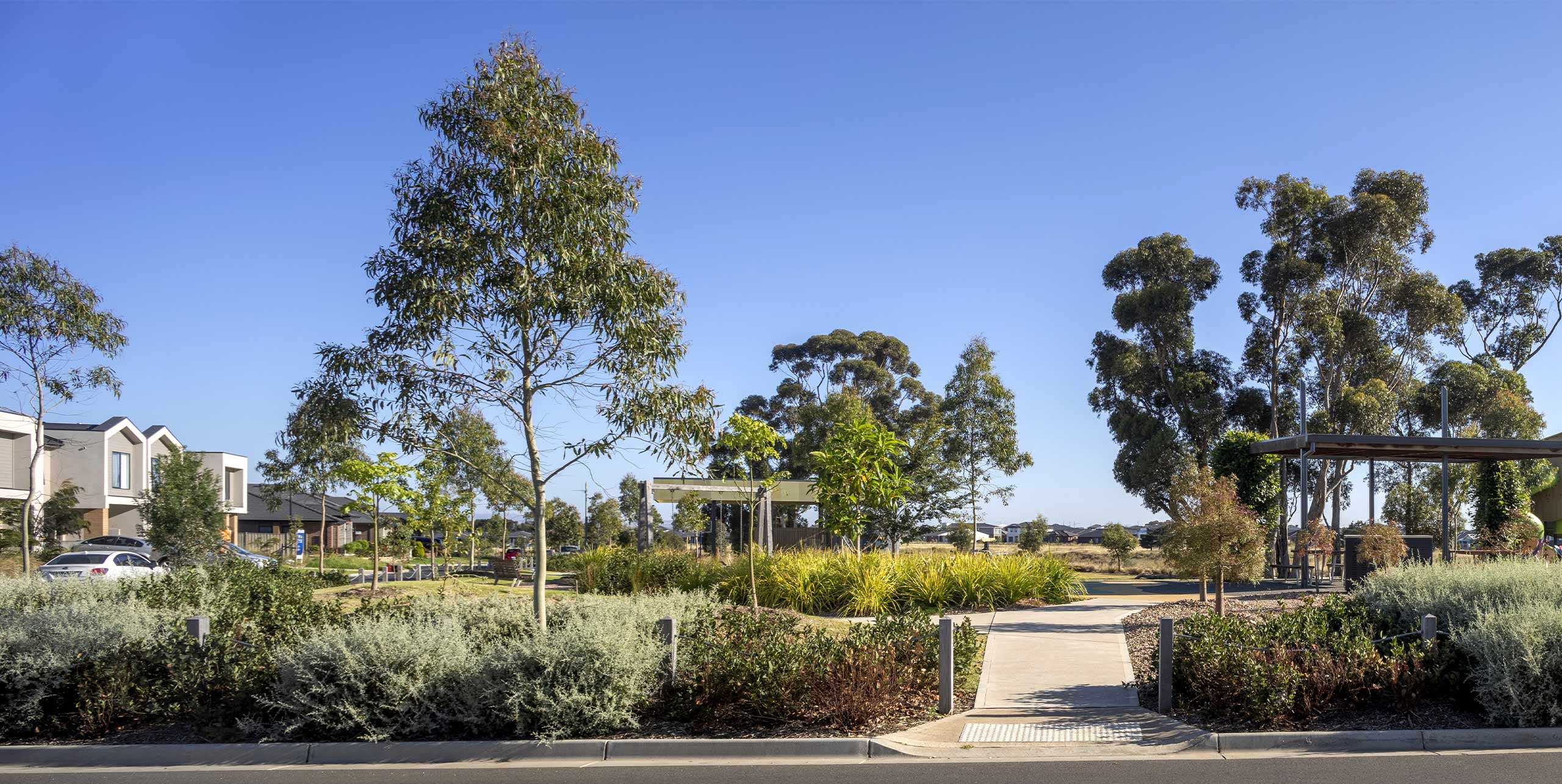
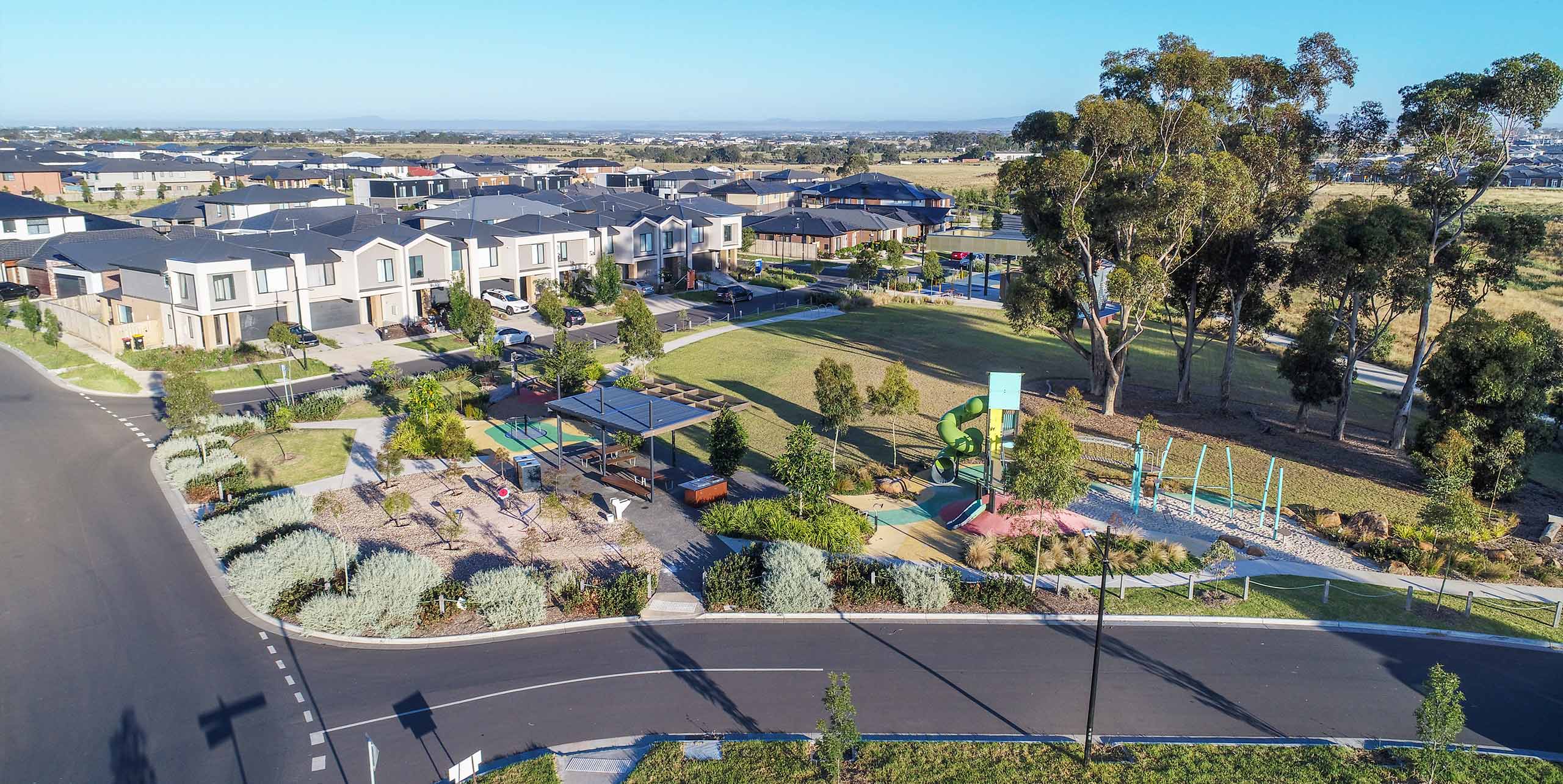
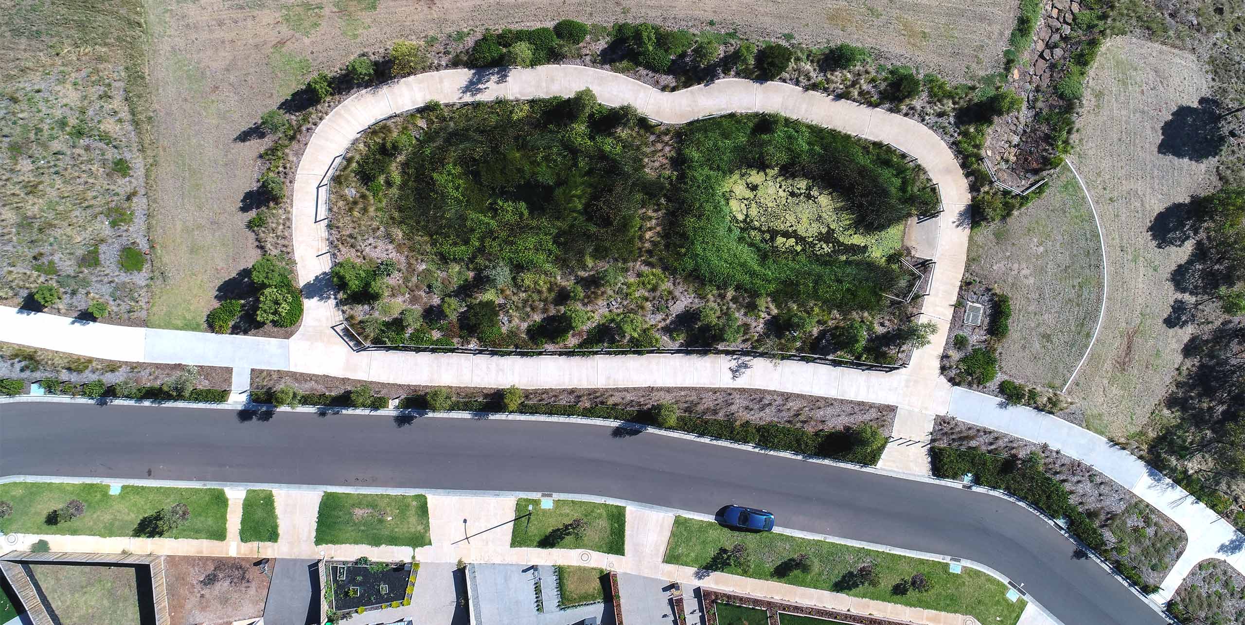
All roads, utilities, open space and staging were framed by landscape and water infrastructure. SMEC’s landscape team designed parks, planting and shared paths, incorporating WSUD features such as rain gardens, swales and retarding basins to improve water quality and support heat mitigation.
Street networks open toward parks, Kororoit Creek and the sports reserve. Open space supported passive and active recreation, with infrastructure and landscape working as one system. Early parks and shared paths aligned with the drainage corridor and street network to create intuitive walking and cycling routes.
A key opportunity identified during the delivery of precinct 1 was the integration of the Landscape Park and interface with the sewer pump station, resulting in significant savings for our client. A central wetland and a 30-metre waterway corridor form the heart of precinct 2. Detailed hydrologic, water quality and hydraulic testing set the corridor’s capacity and safety conditions for the public. The future wetlands and waterway support both water quality treatment and flood conveyance while forming a walkable landscape of shared paths and planted buffers.
Contract superintendency, site inspections and authority liaison kept drawings aligned with conditions and approvals. Contractors worked under SMEC as Superintendent, with requirements for shop drawings, structural and services certification, and management plans for safety, environment and traffic.
Deanside Village demonstrates how thoughtful planning, technical discipline and collaborative delivery can simplify complexity and unlock value. By placing water and landscape at the centre of the design, the project shaped a resilient, connected community with more than 30 per cent green open space. Holistic planning created a scalable playbook for future stages. High-quality documentation and on-site construction management supported timely certification, safety, environmental management and handover.