

Atherstone Master-planned Community


From the early pioneers on the Snowy Mountains Hydroelectric Scheme, to our leaders and innovators of today, our people make us who we are.
Through our network of global specialists and by collaborating with local partners, we connect you with the best teams and capabilities to deliver highly innovative and sustainable solutions.
As an organisation we are continually evaluating ways we can better provide a safe, flexible, inclusive and respectful workplace for our people and clients.
People are at the heart of our organisation, we strive to create a flexible, diverse and inclusive environment that enables our people to thrive to their fullest potential.
Explore career opportunities
Atherstone demonstrates the value of bringing planning, urban design, survey and engineering together from the early stages of precinct delivery.
SMEC supported Lendlease through planning permit packages, yield assessments, lot layout refinement, open space planning, PSP interpretation, authority coordination and technical design integration. This work helped bridge the gap between the broader precinct vision and the detailed requirements needed to create liveable, buildable neighbourhoods.
Each precinct required a careful balance between commercial yield, housing diversity, infrastructure requirements, open space provision and planning compliance. SMEC’s urban design and planning teams worked closely with the engineering team to test layouts against real-world delivery requirements, including road geometry, drainage corridors, servicing alignments, lot dimensions and housing typologies.
This integrated approach gave precinct plans a clearer path from vision to delivery, aligning Atherstone’s broader planning intent with the technical and authority requirements needed to progress each neighbourhood. It also supported practical outcomes for future residents, with neighbourhoods planned around movement, access, amenity and connection to community assets.
Atherstone’s development has been shaped by its relationship to Toolern Creek, conservation areas, drainage corridors, wetlands and places of cultural heritage sensitivity.
SMEC’s role included helping integrate these conditions into the planning and engineering response. Rather than treating landscape, water and heritage as separate constraints, the team worked to align infrastructure requirements with the environmental and cultural values of the site.
Across relevant precincts, SMEC’s urban design team undertook detailed site assessment and worked closely with engineering teams to maximise open space while integrating conservation interfaces and natural drainage solutions. The team also considered the practical relationship between lot dimensions and housing typologies, helping create layouts that could support market-ready housing products while maintaining the broader planning intent for each precinct.
This supported a more coordinated approach to precinct design, including the creation of intricate wetland systems that contribute to water quality, habitat value and the long-term character of the community. By treating water management as part of the landscape response, the design helped build resilience into the estate while strengthening its connection to Toolern Creek and surrounding open space.
Atherstone also provided an opportunity to apply smart city thinking in a residential development context.
Working with the developer, Council and technology partner Key Options, SMEC helped deliver the Atherstone People Movement and Precinct Planning Project. Believed to be the first application of this type of people movement technology in an Australian residential development context, the pilot was designed to give Council and project partners a clearer understanding of how residents and visitors were using key community facilities, and how those insights could inform future planning, service delivery and infrastructure investment.
The project used the People-in-Motion approach, a data capture and analysis method that combines anonymous mobile phone signals, proximity sensors and mobile network movement data to build a picture of how people arrive at, move through and spend time within a precinct.
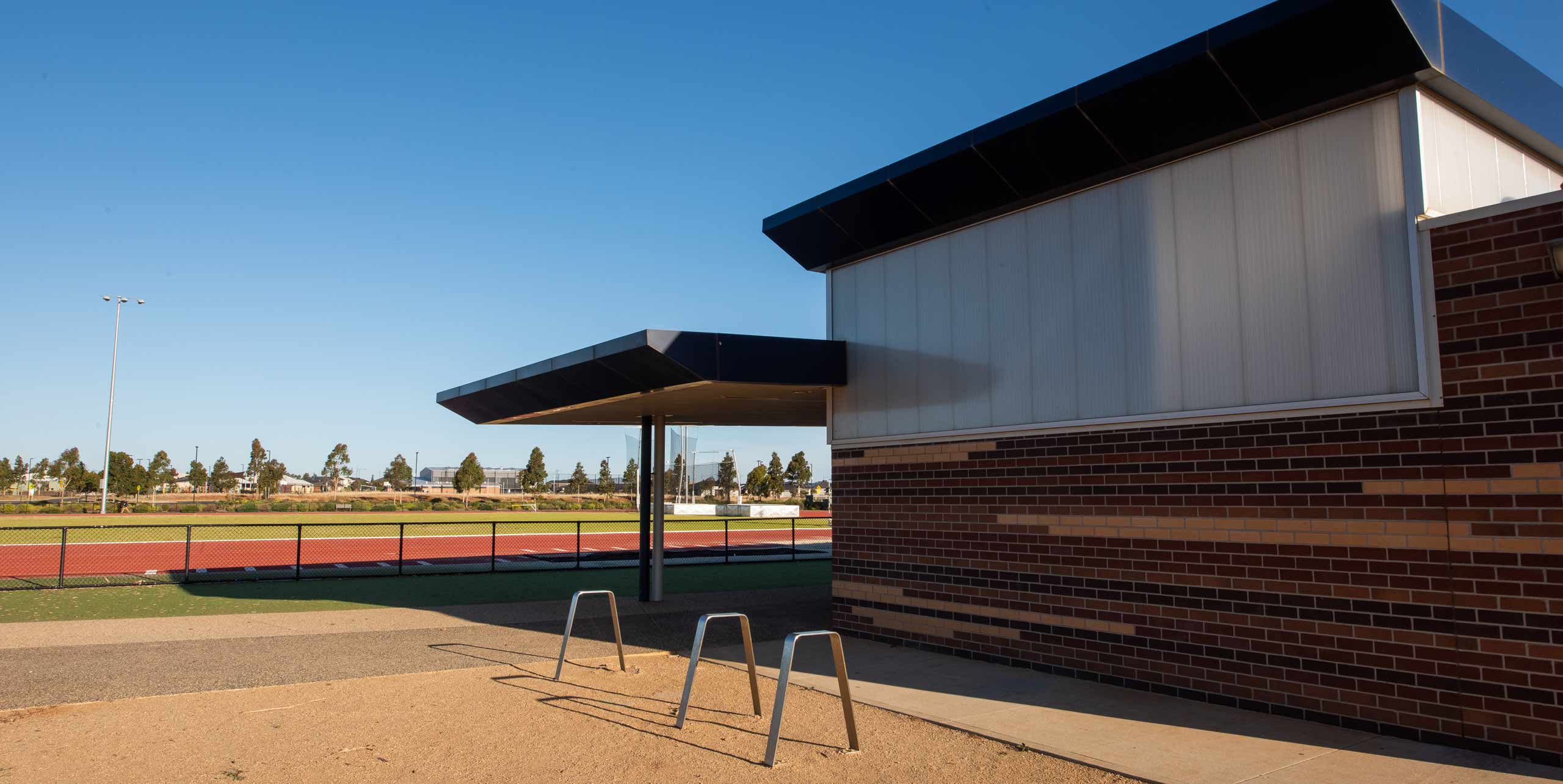
At Atherstone, sensors were used around the Regional Sports Facility and Regional Playspace to capture near real-time movement data. This was combined with mobile network data to understand visitor flows, dwell times, origins, preferred routes and patterns of facility use.
The value of the pilot was its ability to move beyond assumptions, manual surveys or periodic observation. It gave Council and Lendlease evidence about how community assets were being used in practice, including strong utilisation of key facilities and opportunities to inform access, lighting, pathways, maintenance planning and infrastructure decisions.
The project created a scalable model for evidence-based community planning. It also showed how digital tools can support better service planning, asset management and investment decisions in growing communities.
SMEC’s work at Atherstone helped establish the infrastructure, planning and design frameworks that continue to support the community’s growth. Across multiple precincts, the team helped resolve the servicing logic, drainage strategy, road hierarchy, open space planning, lot configuration, authority requirements and construction considerations needed to move land from precinct planning into delivery.
These contributions supported staged land release and provided a basis for later stages to build upon. They also reflect the value of sustained, multidisciplinary involvement in major master planned communities, where early decisions on infrastructure, landform, movement and open space can shape delivery outcomes over many years.
By combining technical depth with practical delivery experience, SMEC helped unlock land for development, support community infrastructure and contribute to one of Melbourne’s major growth area communities.