
Atherstone Master-planned Community
SMEC’s collaborative partnership with Lendlease resulted in innovative outcomes on the completion of the Atherstone community project. SMEC delivered an essential range of services to the project such as civil engineering, surveying, urban design, town planning, transport planning, geotechnical engineering, and smart cities advisory.

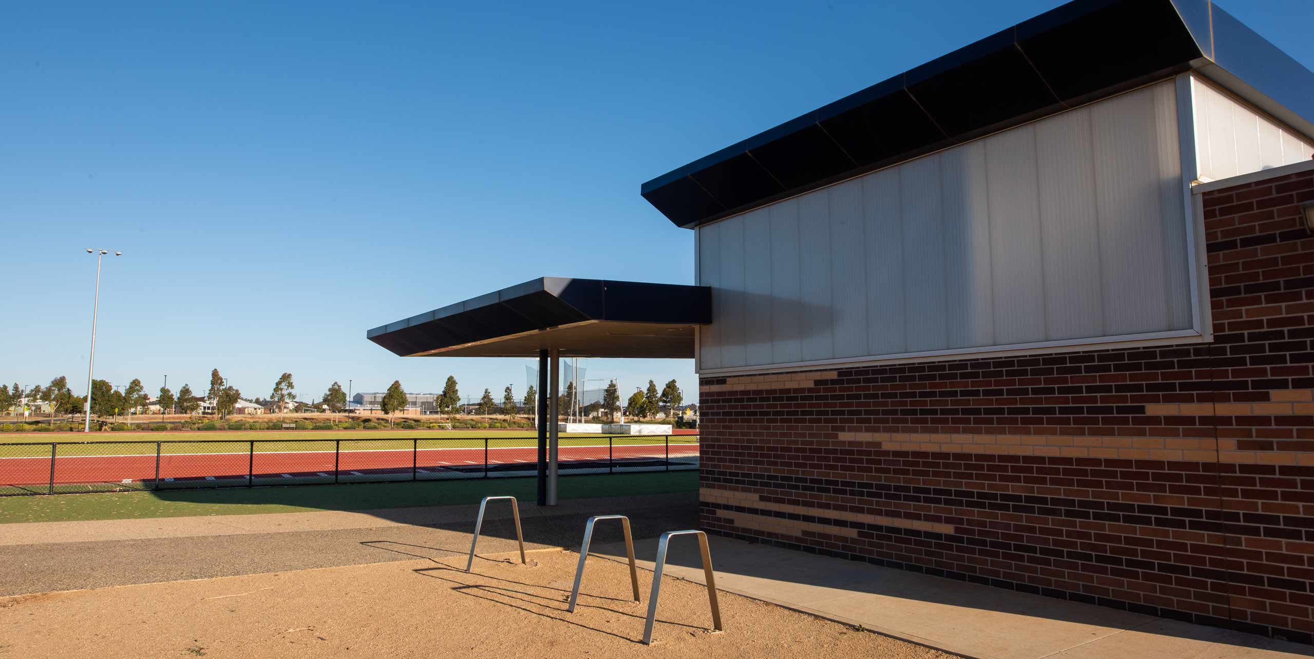
Atherstone is a joint venture between Melton City Council and Lendlease Communities with Lendlease responsible for the overall project. With an overall site of 481 hectares, Atherstone will ultimately accommodate 4,500 dwellings and 15,000 residents, a 130-hectare regional park with two active sports reserves, two primary schools, a neighbourhood centre, and childcare facility as well as a town centre that will include large retail and commercial areas and Cobblebank train station. During the construction of the Atherstone development, the natural surroundings required excavations for roads, sewers, and services. After a geophysical survey was undertaken, it was anticipated that subsurface conditions comprised of shallow basalt rock, which is considered challenging for earthworks.


Geophysical surveys

SMEC used its specialist team of Geotechnicans to provide solutions by undertaking a geophysical survey to support geotechnical findings, which would provide a more accurate interpretation of the ground conditions. SMEC further investigated the seismic velocity distribution of subsurface materials. The results enabled Lendlease to better estimate site earthworks and excavations.

481
hectares site
4500
dwellings
15000
new residential space

Project design and delivery

Our collaborative partnership has resulted in innovative outcomes for the project’s design and delivery. SMEC is providing an extensive range of consulting services on the project but created the biggest impact through project managing the development and delivery of the program on behalf of Lendlease and Melton City Council. Atherstone was recorded as the top-selling Australian development in 2017 and top-selling Victorian development in 2018.

The overall objective of the Atherstone People Movement and Precinct Planning project was to design, develop and trial an integrated real-time data capture program using mobile phone location data to track how people moved and used community services in designated areas. The data would give the Council a better understanding of the movement of people within Atherstone, particularly the regional sports facility and regional play space, and enhance Council’s knowledge of how residents and community members use these facilities. The valuable insights gained from this pilot study, combined with the technology, has relevance for wider application to other master-planned communities. Understanding how people use community facilities can inform Council’s future decisions about prioritising funding for service planning, infrastructure expenditure and asset management as well as responding to changing community needs. Furthermore, developers can also use this information to increase their knowledge about the population’s engagement with its facilities, and acquire verified, case-based data that can be used in the visioning and funding of future projects.

Related
projects

View all

Ready
to
connect?

Talk to one of our specialists about our role on Atherstone Master-planned Community Project.