

Trusted to lead geotechnical delivery on complex infrastructure projects

Geotechnics is about understanding the interface of soil, rock and groundwater with the built environment.

Our engineers, geologists and scientists focus on collecting reliable ground and groundwater data, providing sound interpretation and using that to provide industry leading geotechnical engineering design.


SMEC’s Geotechnics is known for our practical, fit-for-purpose solutions that manage our client’s geotechnical risk and support safe, long-term performance across transport, water, energy, urban development, waste and resource infrastructure.
Our
expertise

We work closely with clients across the full project lifecycle, from site investigation and interpretation through to detailed design, construction support and performance monitoring. Our team takes the time to understand our client’s technical, commercial and operational needs, tailoring scope of works to suit the project specific requirements. We work closely with other consultants, designers, contractors and asset owners to ensure geotechnical considerations are integrated from the outset.

Our experience spans urban developments, long linear transport corridors, ports and coastal works, dams and energy infrastructure, waste and resource projects. This breadth informs solutions for site-specific conditions while maintaining technical rigour and building on our learnings.

Key
capabilities

We provide specialist geotechnical services to support complex infrastructure projects, including:


Site Investigation

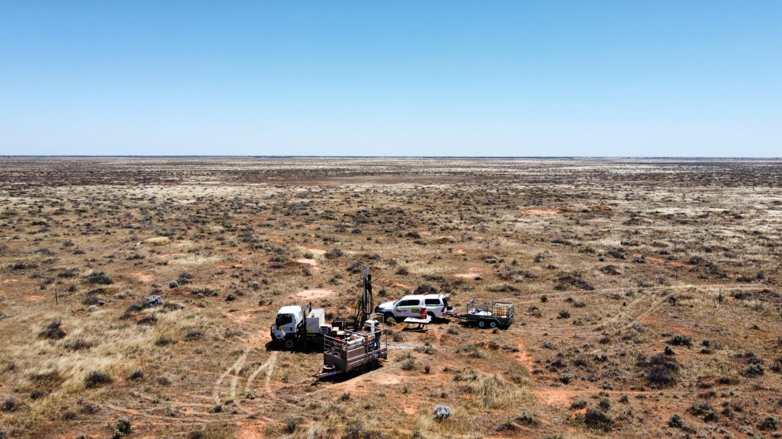
  • Borehole drilling, test pitting, and penetration testing
  • Geological mapping and resource mapping
  • Large scale, Principal Contractor site investigation management and execution
  • ANCOLD compliant dam investigations
  • Drone lidar and photogrammetry for geotechnical assessments

Geophysics Investigation and Interpretation

  • Geophysical surveys including Airborne, marine, surface and borehole investigations
  • Electromagnetic, electrical resistivity and induced polarisation surveys
  • Ground penetrating radar
  • Seismic refraction, MASW, surface wave and reflection methods
  • Magnetic and gravity surveys
  • Near-surface geophysics

Geotechnical Analysis and Design

  • Geological and geotechnical modelling
  • Advanced 2D and 3D numerical modelling including Itasca 3DEC, FLAC 3D, PLAXIS
  • Integrated structural / geotechnical interaction modelling design
  • Slope stabilisation
  • Design of piles, retaining walls, foundations, and other engineering structures
  • Detailed design for underground structures and ground improvement 

Hydrogeology and Groundwater

  • Groundwater investigations, resource assessment, development and management
  • Bore and borefield design
  • Dewatering, groundwater inflow and excavation management
  • Seepage, impact and risk assessments
  • Contaminated groundwater assessment and remediation
  • Advanced hydrogeological solutions 

Geotechnical Modelling Solutions

  • Remote sensing and satellite data interpretation
  • LiDAR Survey data
  • 2D and 3D Geological modelling and visualisation including Leapfrog, Vulcan and PointStudio
  • GIS database presentation of geotechnical data

Construction Phase and Asset Services

  • Monitoring and instrumentation design and survey review
  • Soft soil treatments
  • Foundation and excavation assessments
  • TfNSW Slope Risk Assessment Accreditation
  • Rope access works
  • Temporary works design
  • Review of third-party impacts
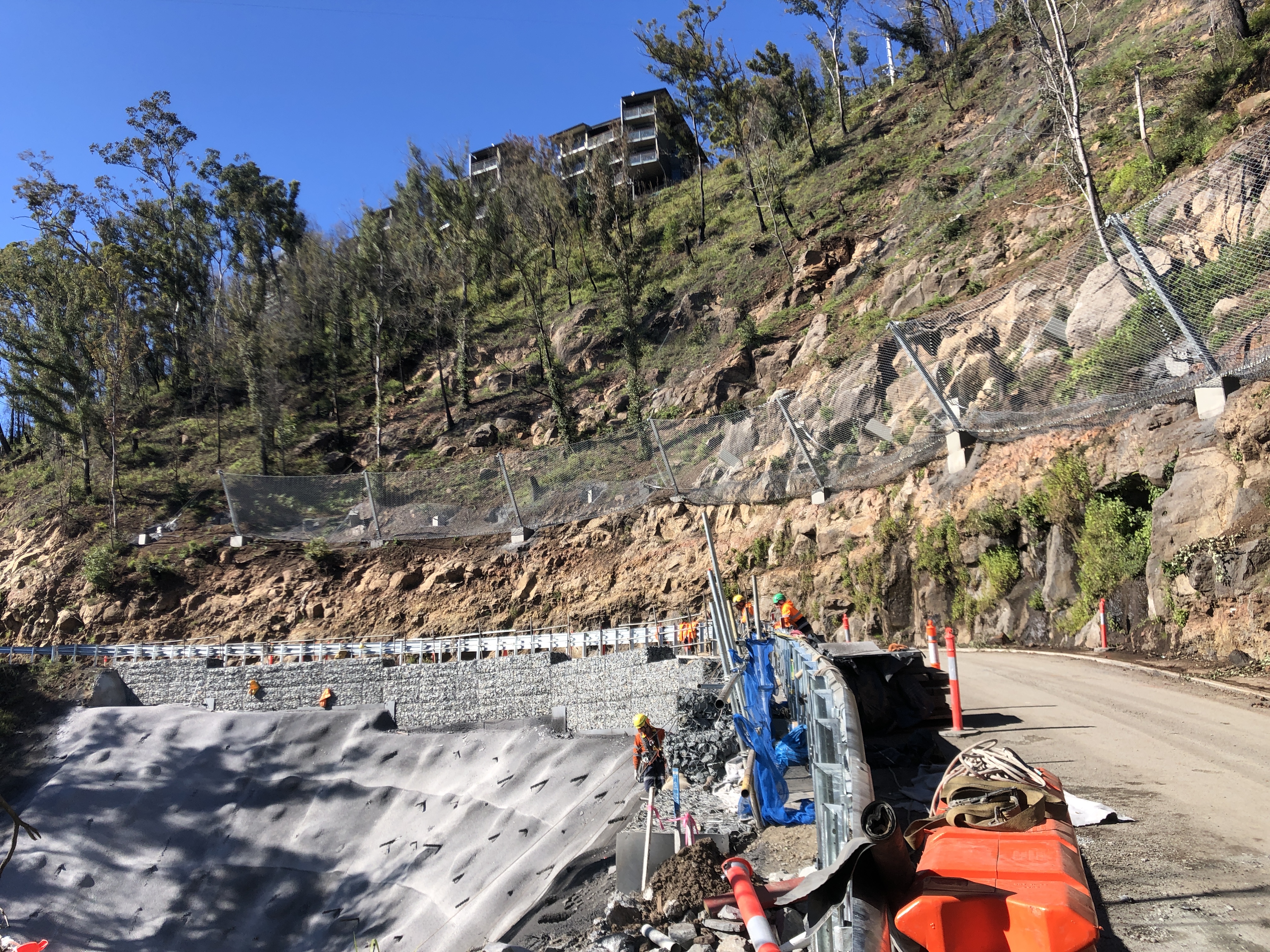
  • Disaster recovery, slope assessment and remediation

Project
experience

Partner
with
us

Whether your project requires geotechnical engineering in Australia or New Zealand, large-scale tunnelling capability across Asia, or specialist underground expertise in Africa and the Middle East, our geotechnics and tunnelling teams bring the depth and experience to support delivery.