
Harpley Master Planned Community


From the early pioneers on the Snowy Mountains Hydroelectric Scheme, to our leaders and innovators of today, our people make us who we are.
Through our network of global specialists and by collaborating with local partners, we connect you with the best teams and capabilities to deliver highly innovative and sustainable solutions.
As an organisation we are continually evaluating ways we can better provide a safe, flexible, inclusive and respectful workplace for our people and clients.
People are at the heart of our organisation, we strive to create a flexible, diverse and inclusive environment that enables our people to thrive to their fullest potential.
Explore career opportunities
Harpley’s scale required enabling infrastructure that could support staged land release while setting up the estate for long-term growth. SMEC’s work extended from subdivision infrastructure to major trunk services, including branch sewers up to 700 millimetres in diameter and 500 millimetre water mains required to support development across the broader precinct.
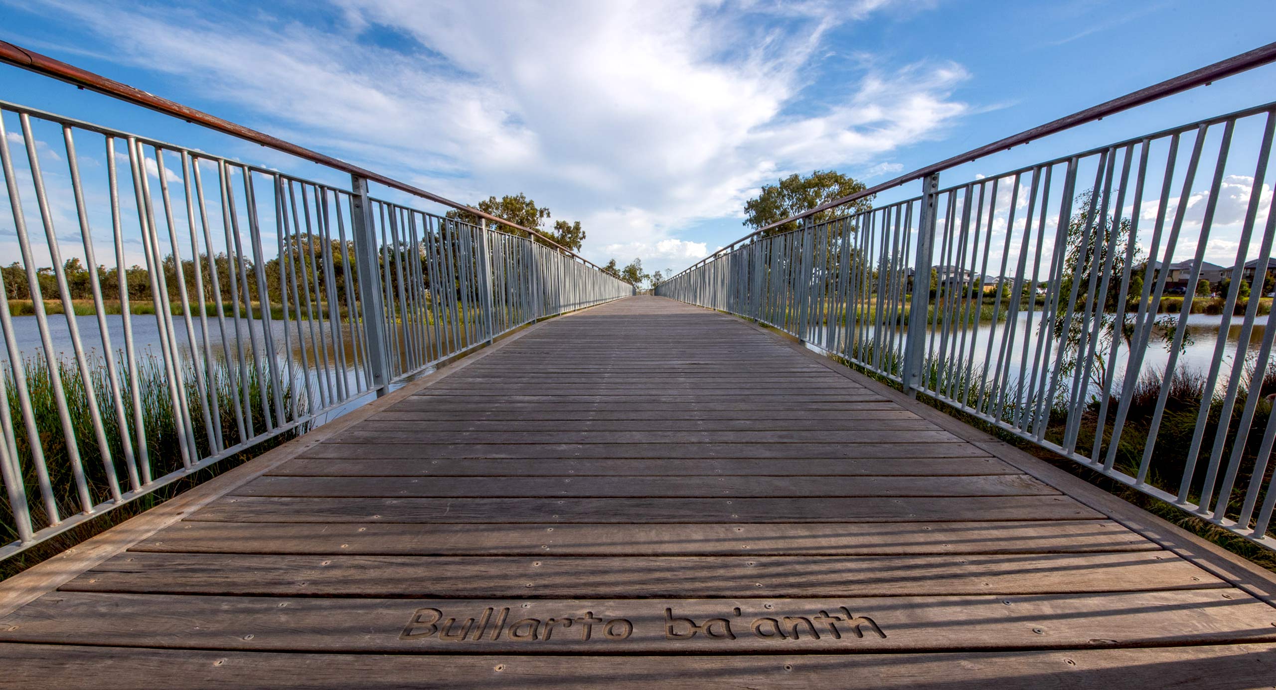
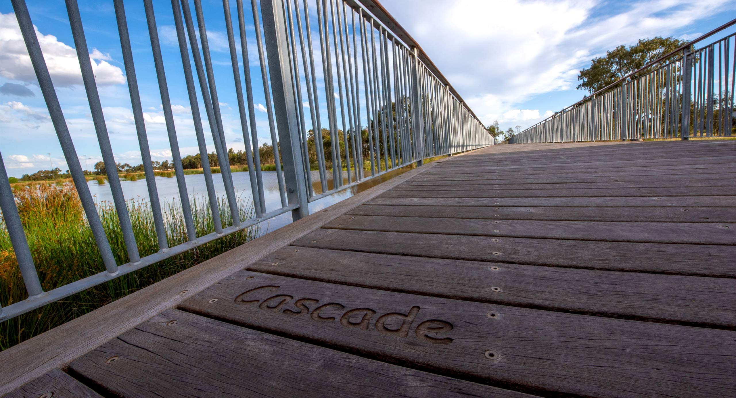
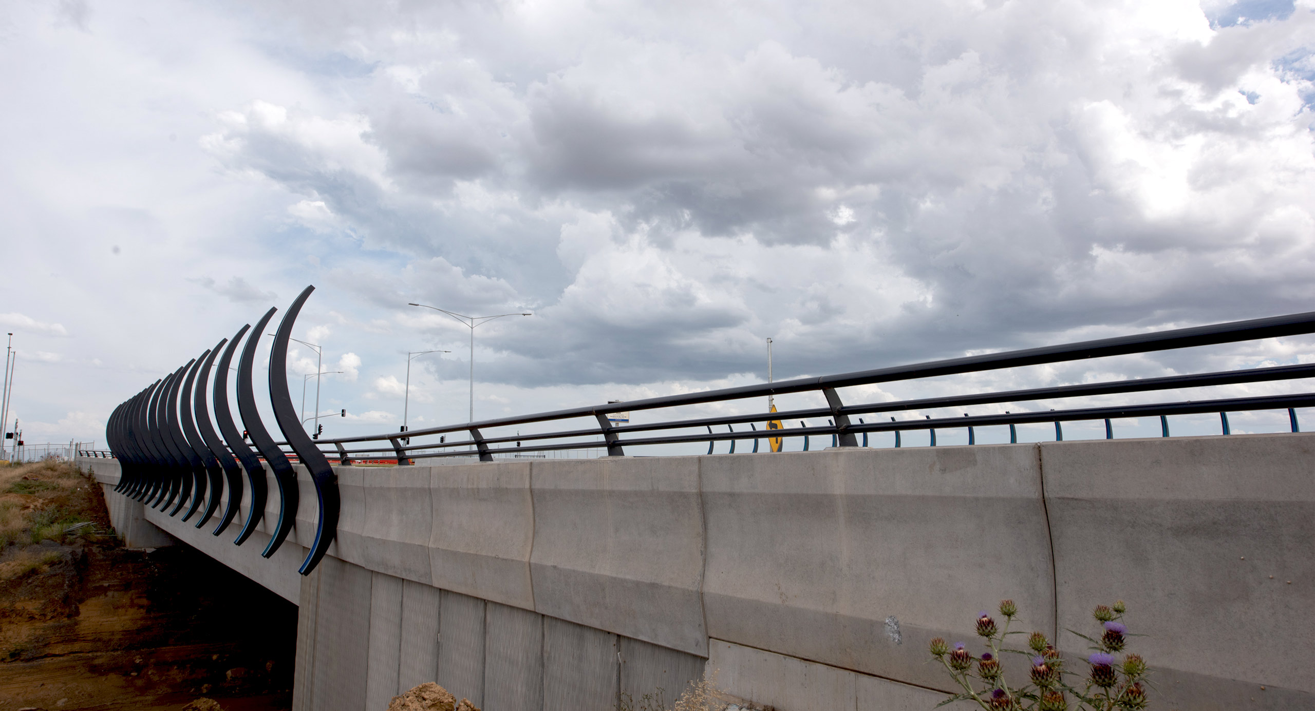
Transport was a defining part of the project. SMEC supported the delivery of arterial and sub-arterial roads, bridges, culverts and major intersections, helping connect new neighbourhoods with the wider Werribee and Wyndham road network.
This included Ison Road, recognised as a vital new link to the Princes Freeway and an important connection for Wyndham’s growing western corridor. SMEC’s work at Harpley helped establish the internal road and bridge infrastructure needed to connect the estate into this broader movement network.
At key stages, SMEC created dedicated delivery teams to manage major roads and subdivision works in parallel. This approach helped maintain momentum across the estate while keeping the infrastructure program aligned with residential release requirements.
Harpley’s waterways and wetlands are central to both the estate’s identity and its engineering. The site sits within a broader catchment influenced by the Werribee River system, where regional flood behaviour had to be carefully understood before land could be released for development.
In lower-lying parts of the site, residential land had to be raised without reducing the site’s role in storing and conveying floodwater. This required careful coordination of earthworks, drainage levels and overland flow paths to avoid increasing flood risk beyond the estate.
SMEC worked with the project’s flood modelling and water strategy consultants to translate the broader stormwater strategy into detailed civil design and construction outcomes. This required close coordination between road levels, drainage infrastructure and waterway interfaces, alongside the earthworks needed to shape future neighbourhoods.
Bulk earthworks became a crucial enabling strategy. SMEC led an ongoing cut and fill strategy across the site, helping manage large volumes of material while supporting staged construction over many years. In areas with significant fill, SMEC’s geotechnical team provided review and validation to confirm compaction requirements were being met.
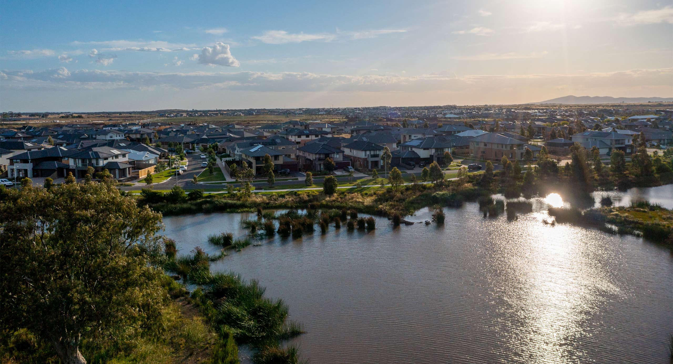
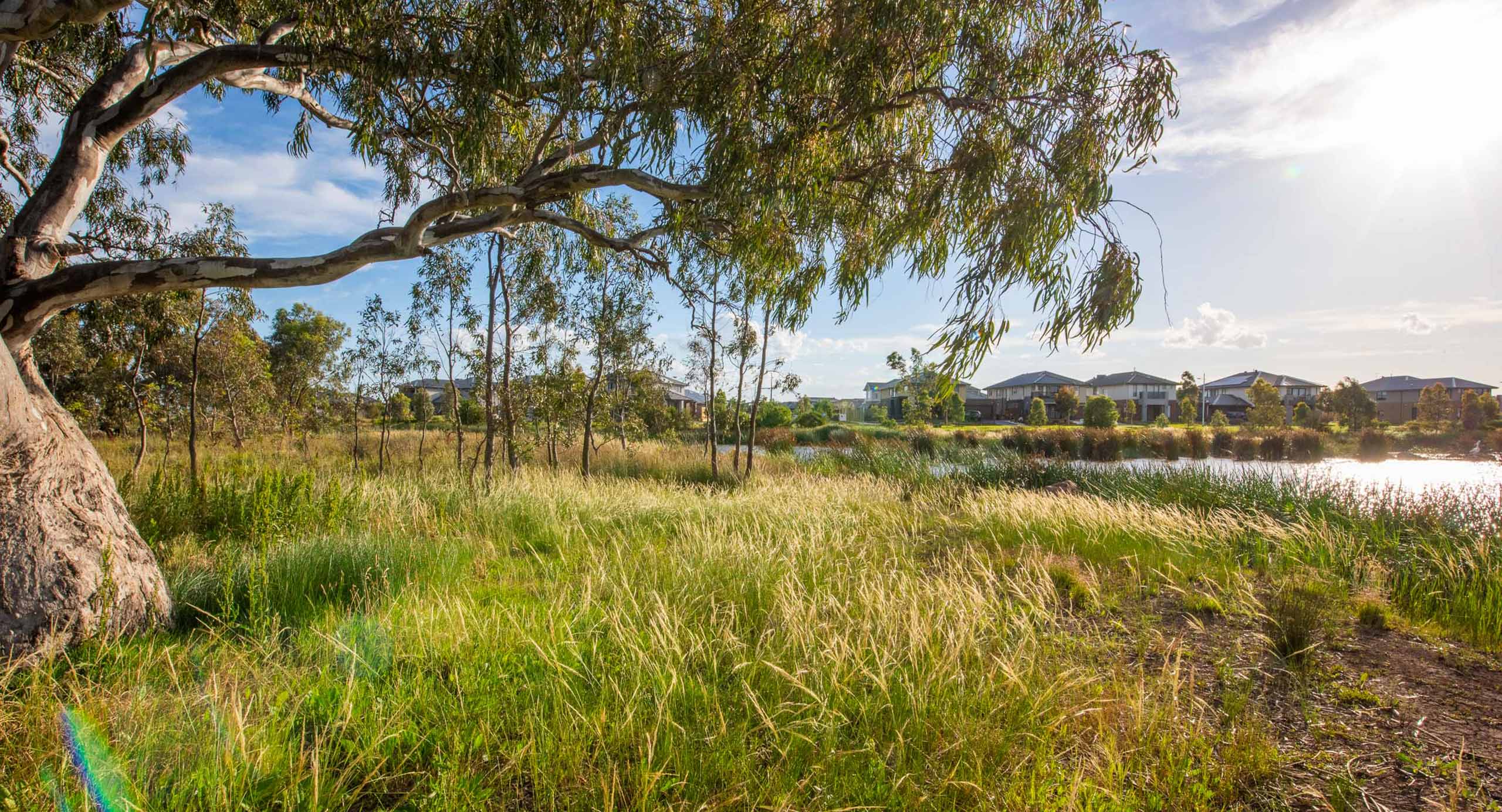
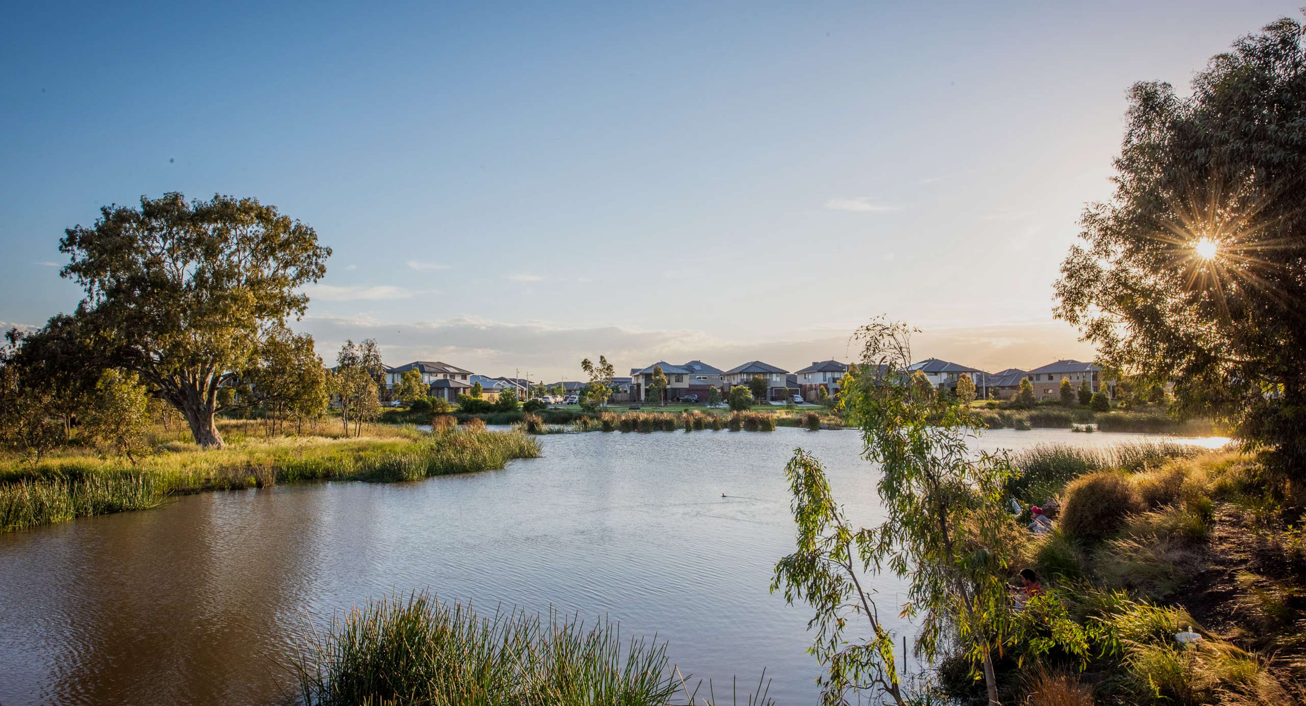
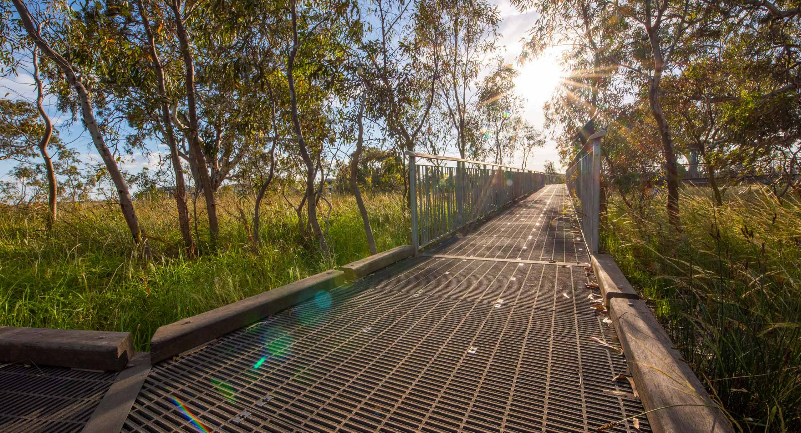
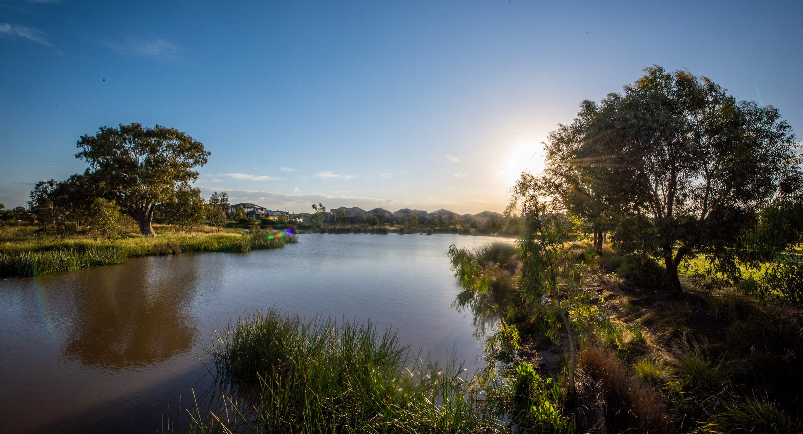
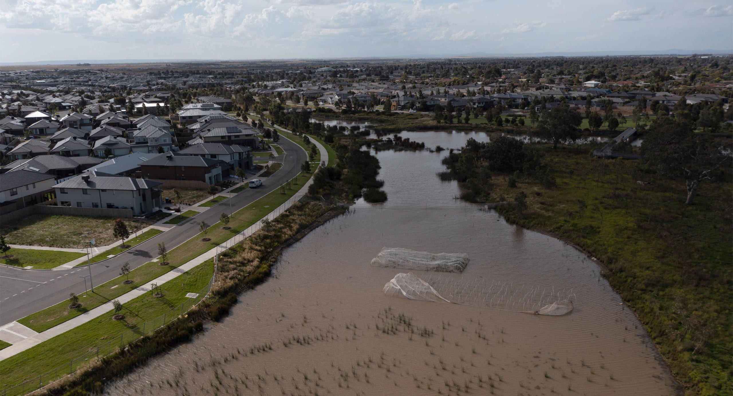
Harpley Lake is one of the estate’s defining community assets. The approved lake precinct brings together the lake edge, constructed Lollypop Creek, adjoining wetlands and public open space with a direct interface to Harpley Town Centre.
The lake earthworks, weir / waterfall and promenade design are central to the precinct’s role as a public destination. Together, they support the lake’s technical performance while creating a more active public edge for recreation, movement and future town centre activity.
Behind this public-facing outcome is a complex technical interface. The lake, wetlands and creek diversion involve multiple asset owners, maintenance requirements and water quality considerations. SMEC led the detailed civil, survey and infrastructure design in collaboration with the client, Council and wider consultant team, helping make these interfaces practical and deliverable.
The lake precinct also supports Harpley’s broader response to heat and liveability in Melbourne’s west, where water and canopy cover can help create cooler, more comfortable public spaces. Within the town centre, SMEC supported the engineering required to incorporate structural soil cells beneath Bradfield Street, helping create better conditions for larger trees and a more shaded street environment.
Across the estate, SMEC’s work helped turn water infrastructure into community infrastructure. The result is a lakeside community where drainage, flood resilience, public realm and everyday amenity are closely connected.
SMEC used UAV surveying and photogrammetry to capture large areas of the site while civil construction activity was underway. This provided a faster, safer way to gather detailed site information and reduced the need for surveyors to access active construction areas while machinery was operating.
The UAV survey outputs gave the project team a detailed spatial record of the site, from orthomosaic mapping and point-cloud data through to terrain modelling, volume calculations and surface comparison heatmaps. This helped compare existing conditions against design intent, assess earthworks progress and make more informed construction decisions.
SMEC also applied customised digital engineering tools across Harpley and other major urban projects, reducing repetitive manual work and improving the consistency of design checking across large, multi-stage packages.
Harpley reflects the value of sustained technical involvement in major growth area communities.
Over more than a decade, SMEC supported the estate’s progression from precinct planning through to detailed design, staged construction and the delivery of major infrastructure. This long involvement helped maintain continuity across the project as land release, infrastructure priorities and market conditions evolved.
The result is a master planned community shaped by the relationship between water, landform, transport and public realm. By helping resolve those systems at ground level, SMEC supported the delivery of a connected lakeside community for Harpley residents and the broader Werribee community.