
Hexham Straight Widening


From the early pioneers on the Snowy Mountains Hydroelectric Scheme, to our leaders and innovators of today, our people make us who we are.
Through our network of global specialists and by collaborating with local partners, we connect you with the best teams and capabilities to deliver highly innovative and sustainable solutions.
As an organisation we are continually evaluating ways we can better provide a safe, flexible, inclusive and respectful workplace for our people and clients.
People are at the heart of our organisation, we strive to create a flexible, diverse and inclusive environment that enables our people to thrive to their fullest potential.
Explore career opportunities
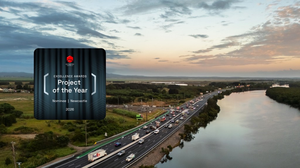
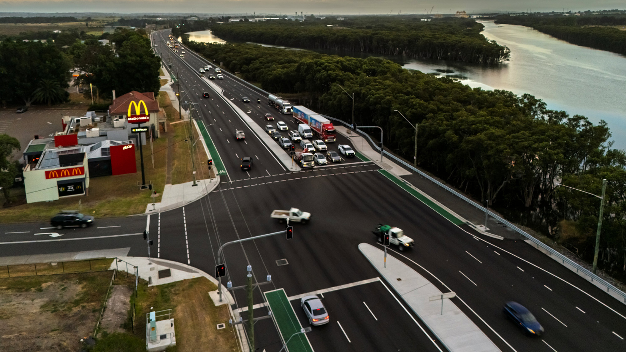
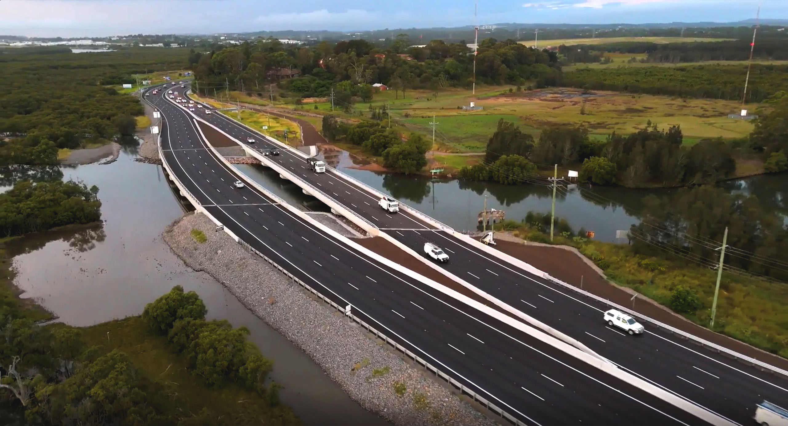
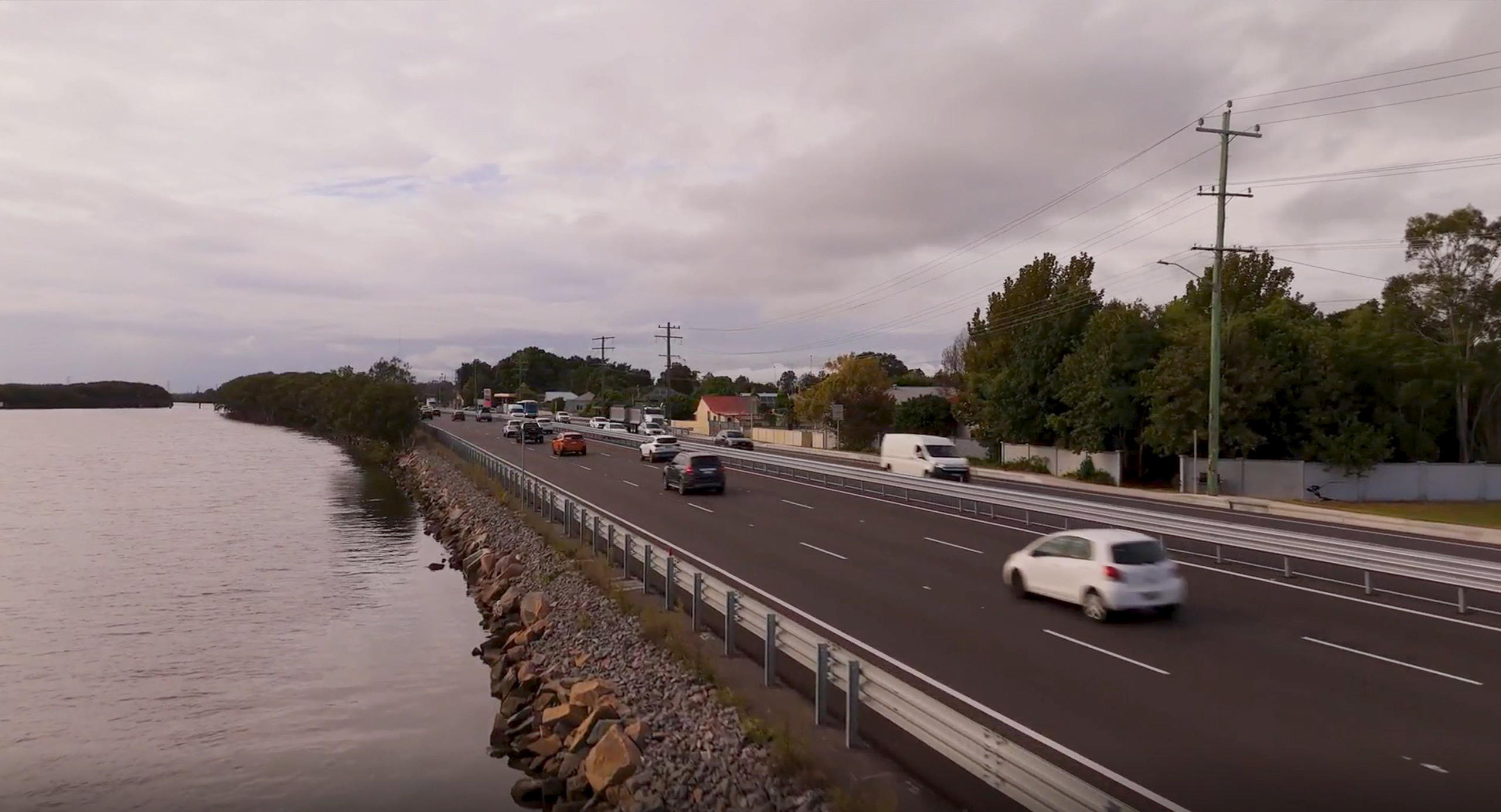
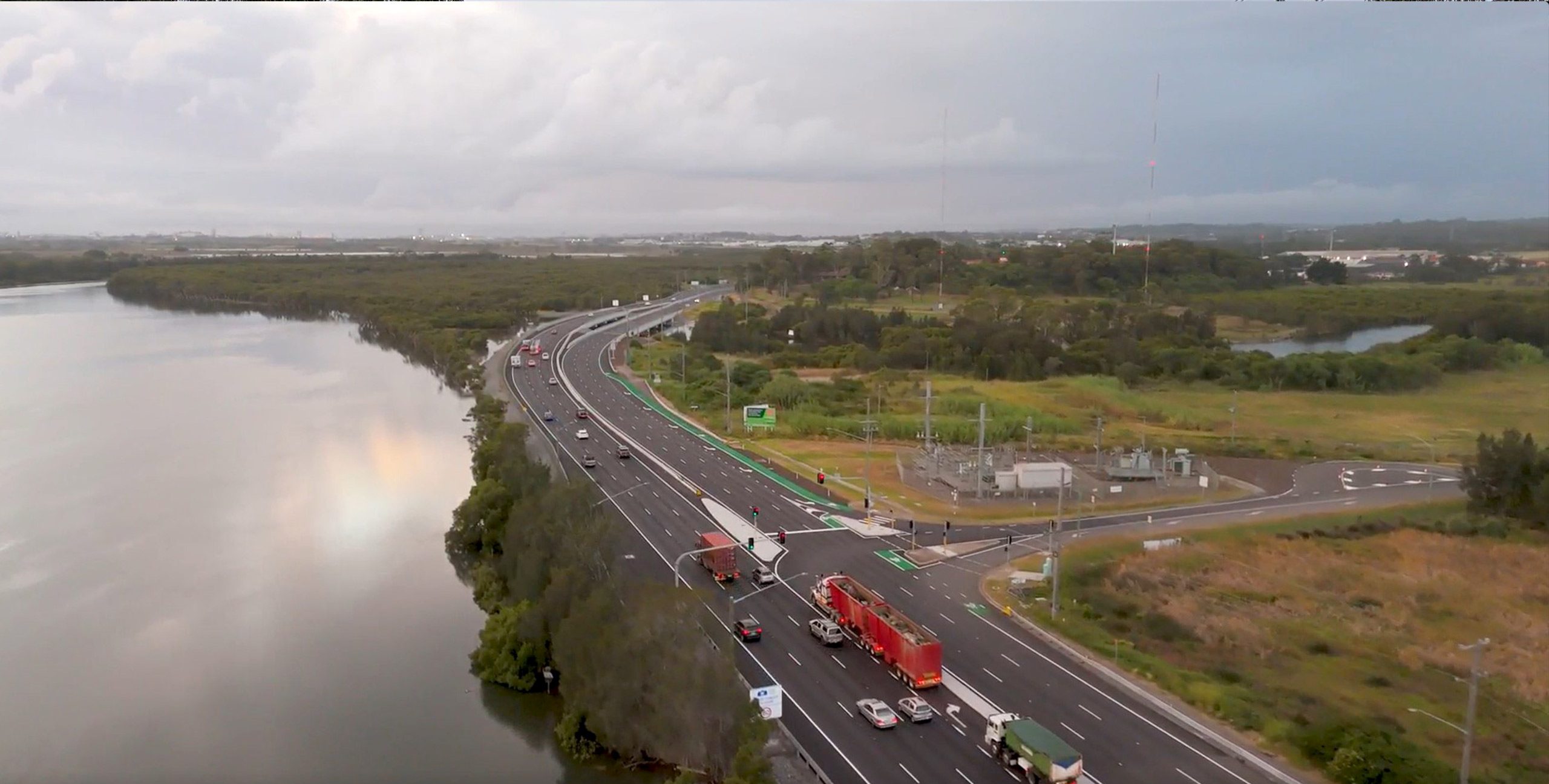
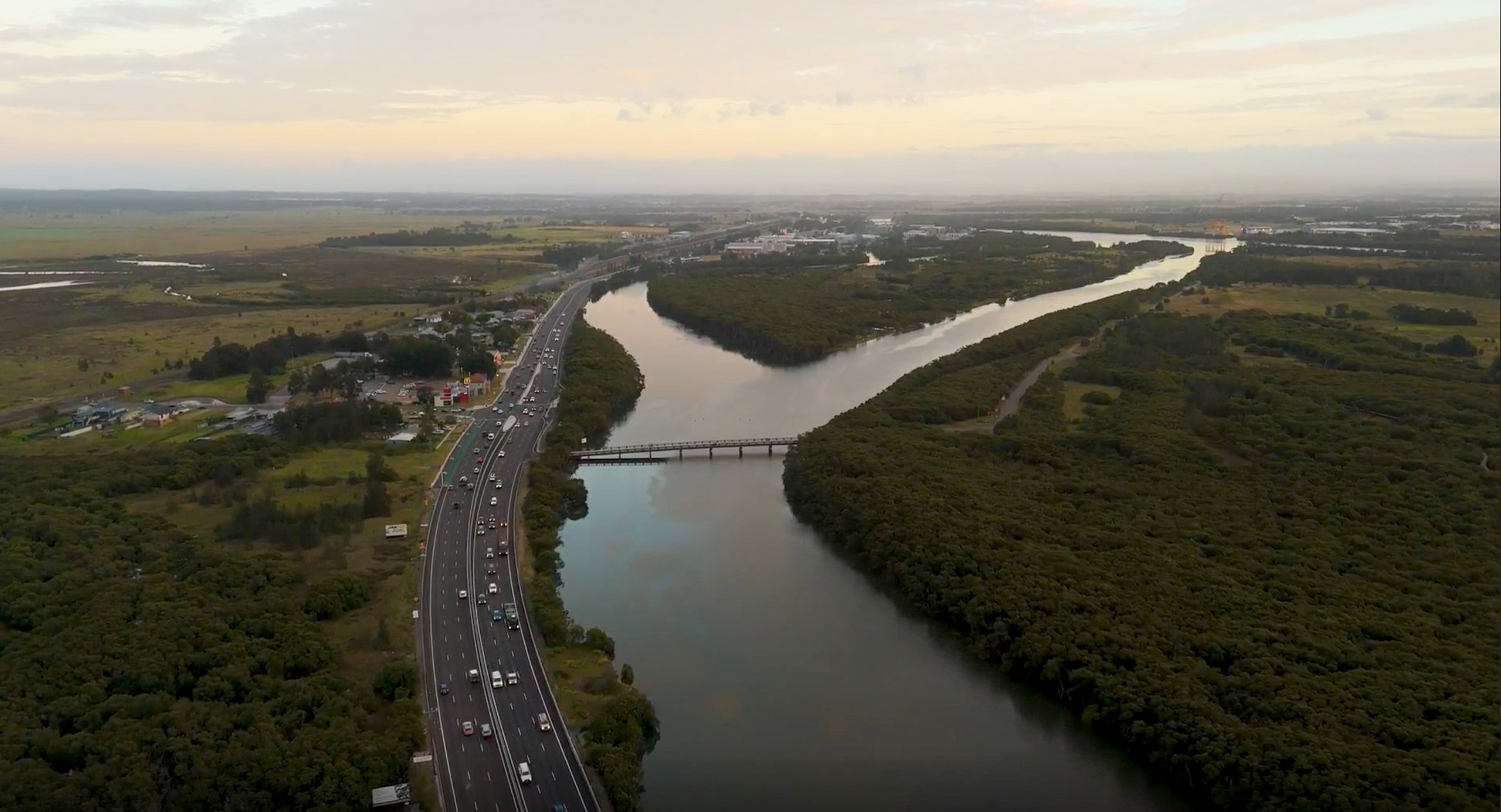
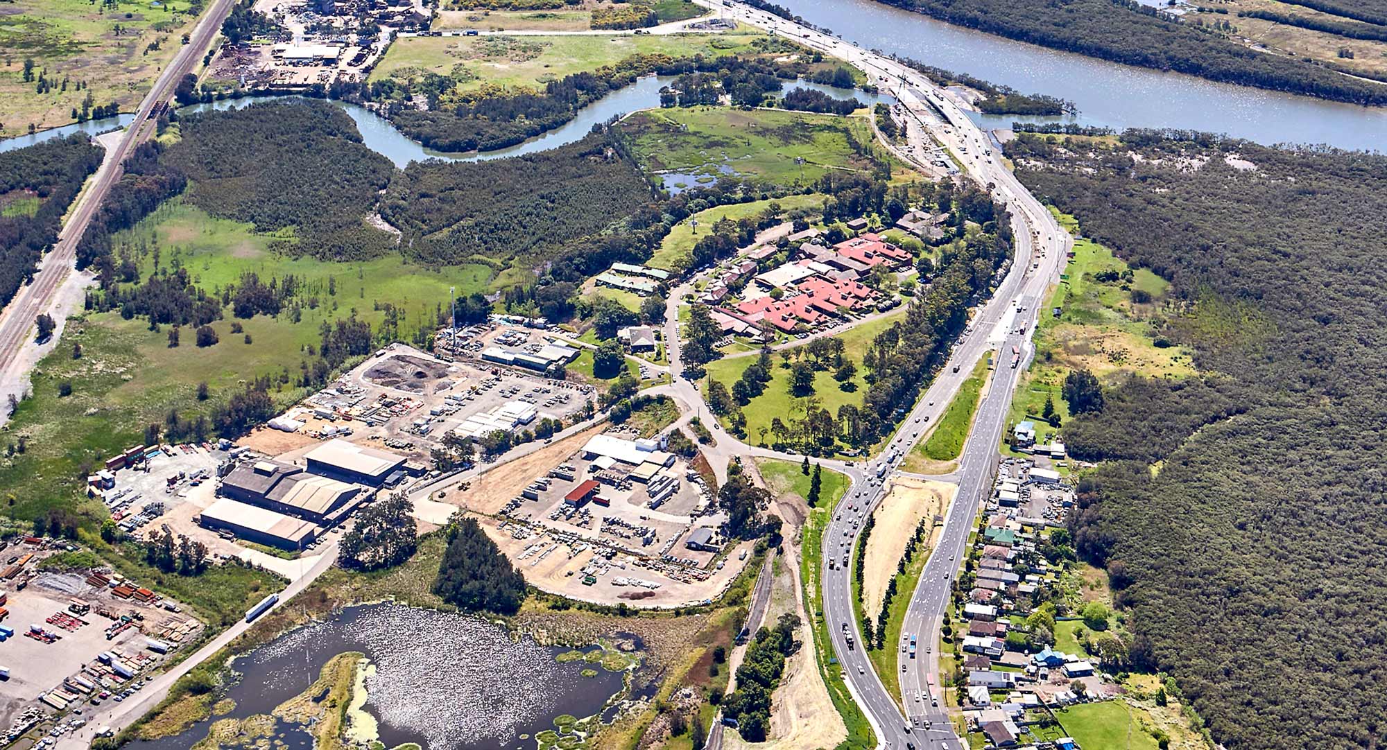
SMEC was engaged as lead designer within the Hexham Straight Widening Alliance, working with Transport for NSW, Georgiou and Daracon to deliver detailed design and geotechnical investigations for the widening of a six-kilometre section of Maitland Road (also known as the Pacific Highway at Hexham). The design widened the road from four to six lanes between the Newcastle Inner City Bypass at Sandgate and approximately 800 metres north of Hexham Bridge. SMEC’s scope covered road alignment, drainage and flooding, pavements, traffic, utilities, structures, geotechnical and environmental design, supported by design optimisation, value engineering, safety assessment and navigation of the Transport for NSW design concessions process.
The widening was needed to address a long-standing bottleneck along a six-kilometre section of Maitland Road between the Newcastle Inner City Bypass at Sandgate and north of Hexham Bridge. As a constrained section of the Pacific Highway serving commuter, freight and port-related traffic, Hexham Straight experienced peak-period congestion and reliability issues that affected movement through one of the Hunter’s most important transport links. Improving capacity and network performance was therefore essential to support safer journeys, reduce delays and strengthen access between Greater Newcastle, the Port of Newcastle and the broader state road network.
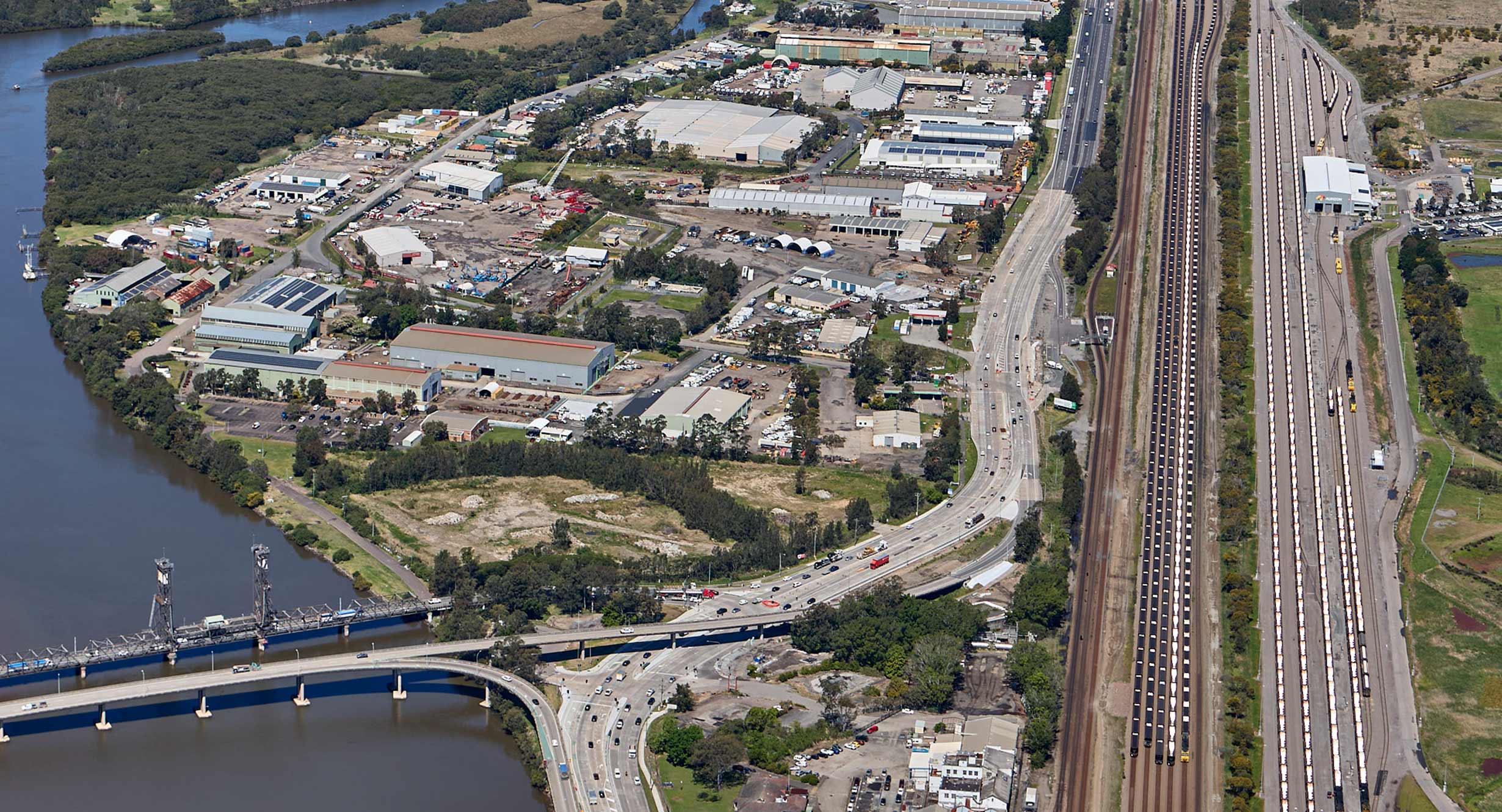
Delivering the upgrade required a design response that could work within a highly constrained brownfield corridor, bounded by the Hunter River, the Main North Rail Line, residential and commercial properties, floodplains, mangroves and other environmentally sensitive areas. The solution needed to improve safety and travel time reliability while managing flood risk, complex ground conditions, existing utilities, legacy coal-tar pavement materials and construction staging in a heavily trafficked operating environment.
SMEC’s design solution was developed around a clear project requirement: achieve three lanes in each direction while responding to a narrow corridor bounded by the Hunter River, the Main North Rail Line, local properties, flood-prone land and environmentally sensitive areas. Rather than proposing entirely new project elements along the full length, the team focused on a value-for-money design that made strategic use of the existing alignment, reduced the construction footprint, minimised environmental impact and coordinated permanent works with traffic staging requirements.
The design reused and adapted the existing road where possible, while improving safety and reducing the project footprint. This included adopting horizontal curves appropriate for adverse crossfall at the nominated design speed, keeping road surface levels as low as practical to satisfy flooding requirements, and removing superelevation transitions on flat longitudinal grades where appropriate. Where opposing carriageways were close together, semi-rigid barriers or redirective kerbs were used to manage safety within the available corridor width.
Delivered in a constrained brownfield environment, the upgrade included:
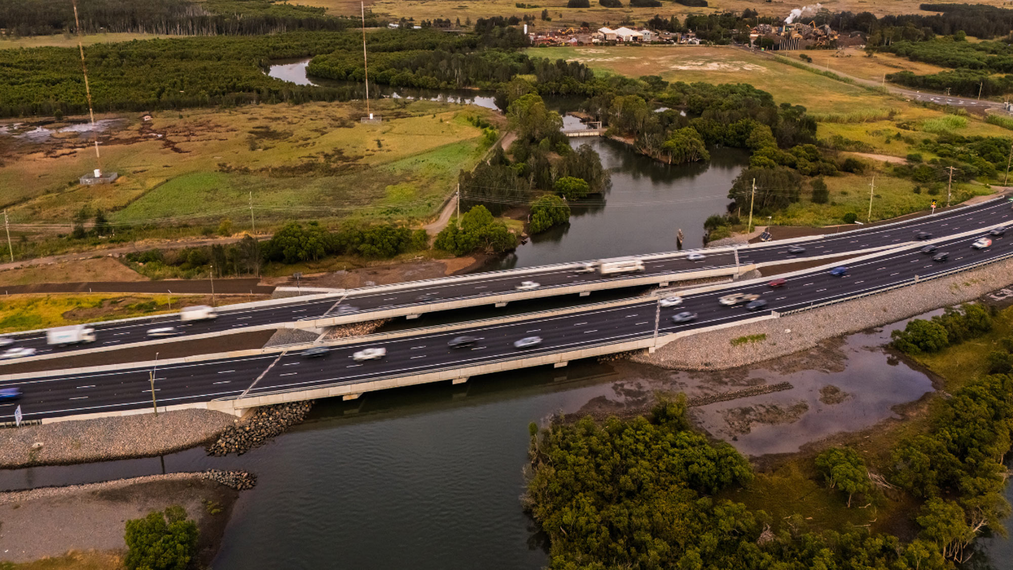
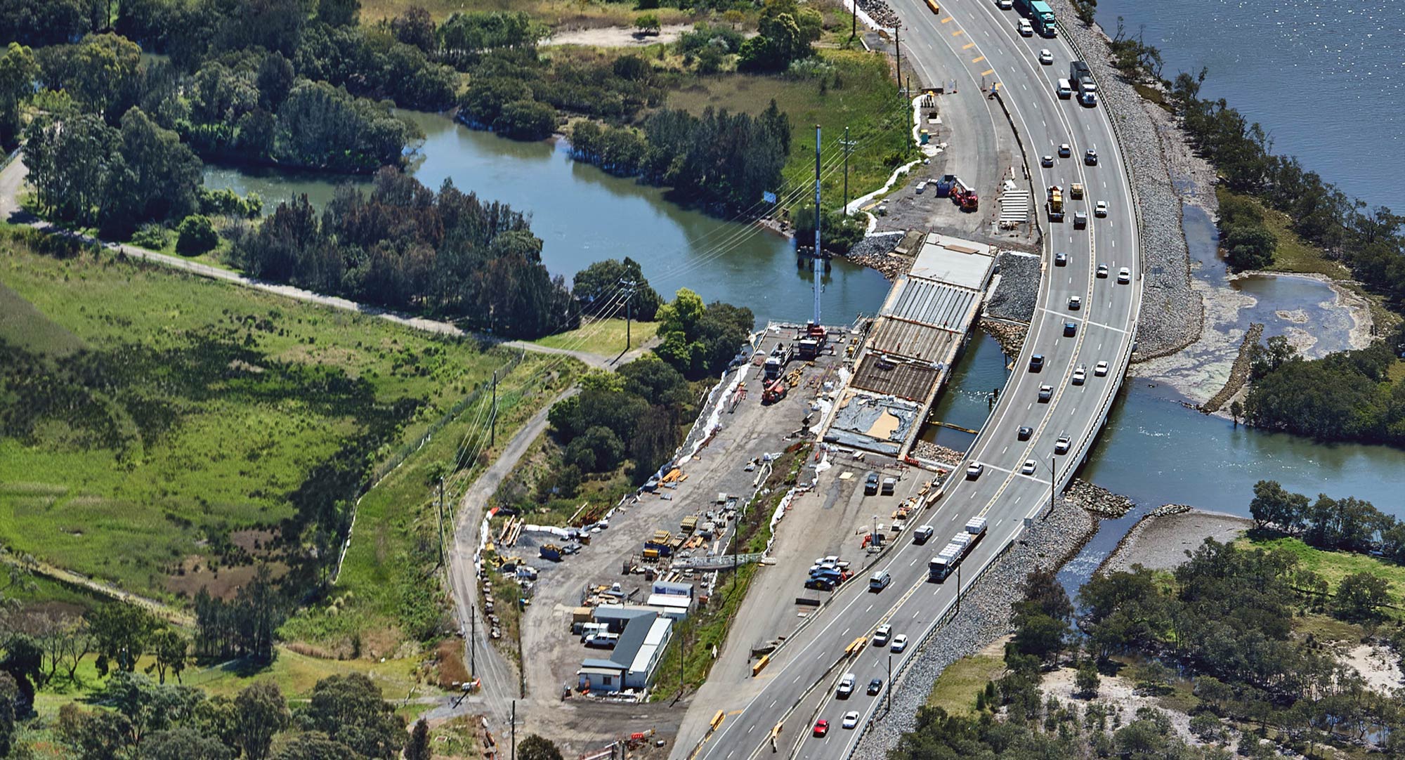
At Ironbark Creek, the team developed a revised bridge and alignment strategy that retained more existing infrastructure and reduced environmental impact. Instead of constructing two new offline bridges, the adopted approach included one offline and one online bridge arrangement. This reduced the extent of works on soft ground, avoided a large retaining wall, improved geometry and minimised impacts on mangrove habitat.
The new bridge structures comprise an 84-metre southbound bridge and a 105-metre northbound bridge, supported by bored cast-in-situ and driven steel tubular piles selected to suit the variable ground conditions.
Complex geotechnical conditions were addressed through extensive investigations and a detailed 3D geotechnical model, which revealed a complex soil profile and significant variation in rock quality and weathering over short distances. This evidence allowed the team to reduce piling risk and refine foundation treatments. On the approaches to Ironbark Creek, the design reassessed the original ground treatment strategy and replaced concrete injected columns with preload, surcharge and wick drains where appropriate, improving constructability while reducing cost and risk.
Stormwater, drainage and flood resilience were also central to the design. SMEC’s drainage solution addressed both pavement and transverse drainage, including locations where existing drainage assets performed both functions. Advanced flood modelling informed corridor levels, safety barriers and floodgate measures, enabling the design to respond to tidal systems, floodplains and adjacent infrastructure without increasing flood risk to surrounding communities or ecosystems.
Pavement design was closely coordinated with traffic staging to reduce new pavement quantities, limit traffic switches, improve the construction program and reduce temporary staging delays. The team maximised pavement reuse where practical, including the use of geosynthetic reinforcement to strengthen joints in wheelpaths. Where concrete slabs had subsided, slab jacking was used to relevel the pavement by injecting expanding resin, avoiding more disruptive reconstruction methods. Diamond grinding was utilised to improve the ride quality of concrete pavement areas.
The upgrade also required extensive utility coordination, including relocation, retention and protection of high-pressure gas, lighting, communications and electrical assets. The team worked directly with utility authorities to define safe working criteria and assess each location. In one key outcome, detailed geotechnical modelling demonstrated that the new works would impart no additional load on an existing high-pressure gas main, removing the need for a major protection slab and saving approximately $1 million.
Across the project, the Alliance model enabled design, construction and client teams to work as one integrated team. Embedment workshops, interactive workshops, weekly design coordination sessions and voluntary challenge workshops allowed Transport for NSW, SMEC, Georgiou and Daracon to test options transparently, resolve technical trade-offs and progress design concessions through a structured approvals process. This collaborative framework supported rapid decision-making while maintaining strong engineering governance across safety, flooding, environment, constructability, cost and program.
The Hexham Straight Widening project has delivered safer, more reliable movement through one of the Hunter’s busiest and most strategically important transport corridors. By widening the route to six lanes, the upgrade has reduced a long-standing bottleneck, improved travel time reliability and supported more consistent movement for commuters, freight operators and local road users.
The corridor’s connection to the Port of Newcastle, the Newcastle Inner City Bypass, the M1 Motorway, the New England Highway and the wider Pacific Highway network strengthens regional freight productivity and supports economic activity across the Hunter. It also maintains the corridor’s role as a high-volume freight and commuter route, supporting more efficient access between Greater Newcastle, regional industrial precincts and the broader state road network.
Road safety outcomes were a defining measure of the project’s success. SMEC completed iRAP Star Rating Assessments across existing conditions, and developed concept design and final detailed design stages, using the process as an iterative design tool rather than a late-stage compliance check.
This approach helped the Alliance target improvements to barrier strategy, intersection layouts, curve geometry, hazard protection and edge protection. The final design lifted the corridor from a 2-star outcome at earlier stages to an overall 3-star rating, with more than half the upgraded route achieving 4 stars or higher.
The project has improved accessibility and network function through upgraded intersections, new U-turn facilities, enhanced bus stop facilities, pedestrian crossings and active transport connections. These changes support safer and more convenient movement for local communities while maintaining the corridor’s role as a key freight and commuter route.
The geometric upgrades, intersection modifications and turning facilities also improve the corridor’s ability to accommodate over-size over-mass vehicle movements. This supports the movement of large components from the Port of Newcastle to regional industrial and energy precincts.
Environmental and sustainability outcomes were embedded in the design response. The revised Ironbark Creek alignment reduced the project footprint in tidal creek areas, minimised disturbance to sensitive mangrove habitat and removed the need for retaining walls.
Design and geotechnical investigations also supported an alternative spoil strategy that helped protect a vulnerable Threatened Ecological Community, Lower Hunter Valley Dry Rainforest. Flood modelling informed the placement of barriers and floodgates, helping protect surrounding ecosystems and maintain backwater flows important to coastal saltmarsh vegetation.
The Alliance also reduced material waste and environmental risk by retaining and reusing existing pavement where practical and managing legacy coal tar-bound asphalt through an inspection-based pavement strategy. This allowed new wearing courses to be placed directly over existing surfaces in suitable locations, reducing hazardous material exposure, minimising milling and limiting waste generation. Pavement optimisation also reduced new pavement quantities, supported more efficient traffic staging and improved constructability.
Value engineering delivered measurable savings and reduced delivery risk. The team’s review of bridge configuration led to the removal of a bridge span and a more efficient plank design, while refined pile configurations and replacement of concrete injected columns with wick drains and preload delivered approximately $2 million in savings.
Utility modelling removed the need for a high-pressure gas main protection slab, saving approximately $1 million. Further design reviews reduced overlay requirements, improved pavement reuse and streamlined protection works around existing assets.
The project’s collaborative delivery model created broader industry value. The Alliance’s approach to design concessions helped establish a disciplined and transparent process for managing non-standard design outcomes in a constrained corridor. SMEC’s flood modelling and cumulative impact assessment approach provided a more holistic understanding of flood behaviour across adjacent infrastructure.
The project’s technical workshops and challenge processes also demonstrated how client, designer and constructor teams can solve complex constraints together without compromising safety, environmental or community outcomes.
The Alliance also supported inclusive and community-focused outcomes through a structured First Nations participation framework covering Aboriginal procurement, employment and training, cultural awareness, mentoring and opportunities for undergraduate and graduate placements. By linking technical delivery with workforce participation, stakeholder engagement and environmental care, the project delivered benefits beyond the physical road upgrade.
Through collaborative delivery, evidence-led design and a disciplined focus on safety, resilience and environmental stewardship, SMEC helped transform a constrained and heavily used corridor into a safer, more reliable transport link for the Hunter region. The Hexham Straight Widening project reflects SMEC’s commitment to simplifying complex infrastructure challenges and creating practical, sustainable outcomes that support communities, economies and future mobility.
Reference:
[1] Hunter | Invest Regional NSW